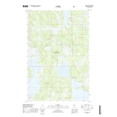
2019 Map of Dora Lake
USGS Topo · Published 2019About this map
The Bowstring River and Popple River converge within the lush northern landscape of the Chippewa National Forest. This 2019 survey documents a region defined by its complex hydrography, where the massive Rice Lake and Sand Lake dominate the southern half of the quadrangle. The small settlements of Dora Lake, Oslund, and Popple are linked by a network of forest roads and county highways that navigate the wetlands and timber stands of Itasca County. Local history is anchored by sites like the Popple Cem and Pine Grove Cem, which serve as quiet landmarks of the area's residency. The presence of the Shogren Dam Impoundment on the Bowstring River indicates the managed nature of these waterways, while smaller bodies of water like Schoolhouse Lake and Natures Lake offer secluded points of interest within the dense woods.
Find a feature on this map
38 named features on this map. Tap any name to fly to it.
Don’t see what you’re looking for? This feature index may not catch every label — zoom into the map to look around manually.
Map Details
Editions of this 2019 Dora Lake Map
This is the sole edition of this map. No revisions or reprints were ever made.
Other maps of this area
1918 · Zora
USGS Topo · 1:62,500
1919 · Zora
USGS Topo · 1:62,500
1919 · Gemmell
USGS Topo · 1:62,500
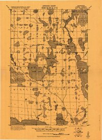
1919 · Max
USGS Topo · 1:62,500

1954 · Bemidji
USGS Topo · 1:250,000
1954 · Hibbing
USGS Topo · 1:250,000

1957 · Bemidji
USGS Topo · 1:250,000
1957 · Hibbing
USGS Topo · 1:250,000

1958 · Bemidji
USGS Topo · 1:250,000
1958 · Hibbing
USGS Topo · 1:250,000