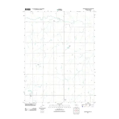
2011 Map of Dorchester SW
USGS Topo · Published 2011About this map
Turkey Creek and its tributary Dry Branch meander through this agricultural landscape in Saline County, defining the drainage patterns of the northern section. The territory is organized by a strict grid of section roads, including Co RD 800 and Co RD 1000, which connect scattered farmsteads and local landmarks. Water management is a primary feature of the local geography, evidenced by the Rezabek Dam and its associated Rezabek Reservoir, as well as the Swan Creek Reservoir 6-C and Swan Creek Dam 63 further south.
Find a feature on this map
25 named features on this map. Tap any name to fly to it.
Don’t see what you’re looking for? This feature index may not catch every label — zoom into the map to look around manually.
Map Details
Editions of this 2011 Dorchester SW Map
This is the sole edition of this map. No revisions or reprints were ever made.
Other maps of this area

1935 · Dorchester
USGS Topo · 1:48,000

1940 · Dorchester
USGS Topo · 1:62,500

1955 · Lincoln
USGS Topo · 1:250,000

1957 · Lincoln
USGS Topo · 1:250,000

1958 · Lincoln
USGS Topo · 1:250,000

1961 · Tobias
USGS Topo · 1:24,000

1961 · Western
USGS Topo · 1:24,000
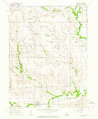
1961 · Swanton
USGS Topo · 1:24,000
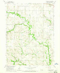
1964 · Pleasant Hill
USGS Topo · 1:24,000
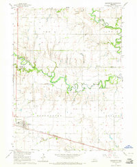
1964 · Dorchester
USGS Topo · 1:24,000