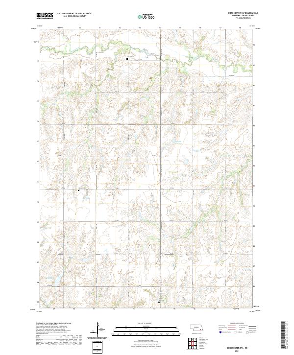
2021 Map of Dorchester SW
USGS Topo · Published 2021About this map
Turkey Creek and its various tributaries define the drainage patterns of this rural Saline County landscape. The terrain is deeply incised by Spring Cr and Dry Br, revealing a complex network of draws and ridges characteristic of the eastern Nebraska plains. This 2021 study documents a region of high local history value, marked by long-standing rural burial grounds including Gilbert Cem in the north and Monroe Cem to the west.
Find a feature on this map
33 named features on this map. Tap any name to fly to it.
Don’t see what you’re looking for? This feature index may not catch every label — zoom into the map to look around manually.
Map Details
Editions of this 2021 Dorchester SW Map
This is the sole edition of this map. No revisions or reprints were ever made.
Other maps of this area

1935 · Dorchester
USGS Topo · 1:48,000

1940 · Dorchester
USGS Topo · 1:62,500

1955 · Lincoln
USGS Topo · 1:250,000

1957 · Lincoln
USGS Topo · 1:250,000

1958 · Lincoln
USGS Topo · 1:250,000

1961 · Tobias
USGS Topo · 1:24,000

1961 · Western
USGS Topo · 1:24,000
1961 · Swanton
USGS Topo · 1:24,000
1964 · Pleasant Hill
USGS Topo · 1:24,000
1964 · Dorchester
USGS Topo · 1:24,000