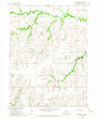
1966 Map of Dorchester SW
USGS Topo · Published 1967About this map
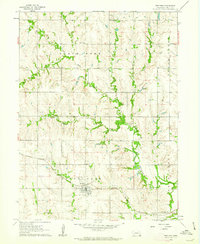
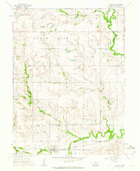
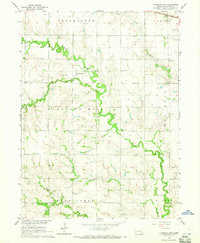
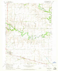
Turkey Creek winds through the northern reaches of this rural Nebraska landscape, where the township boundaries of Lincoln, Dorchester, and Monroe meet. The mid-1960s terrain is defined by its agricultural layout, marked by the occasional country school and community gathering point. Evidence of early settlement is found at Fairview Sch and the Community Hall, which served as local social anchors for the surrounding farmsteads. The southern portion of the quadrangle transitions into the drainage of Swan Creek and the headwaters of Brush Creek. Family history and local genealogy are anchored by several established burial grounds, including Gilbert Cem in the north and North Fork Cem and Monroe Cem farther south. This survey captures a moment when rural life centered on these small crossroads institutions and the natural hydrology of the plains.
Find a feature on this map
15 named features on this map. Tap any name to fly to it.
Don’t see what you’re looking for? This feature index may not catch every label — zoom into the map to look around manually.
Map Details
Editions of this 1966 Dorchester SW Map
This is the sole edition of this map. No revisions or reprints were ever made.
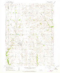
Other maps of this area
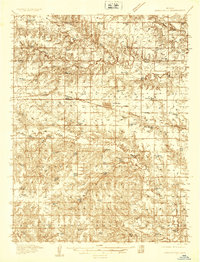
1935 · Dorchester
USGS Topo · 1:48,000
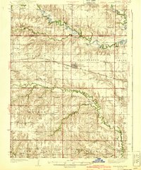
1940 · Dorchester
USGS Topo · 1:62,500

1955 · Lincoln
USGS Topo · 1:250,000

1957 · Lincoln
USGS Topo · 1:250,000

1958 · Lincoln
USGS Topo · 1:250,000
1961 · Tobias
USGS Topo · 1:24,000
1961 · Western
USGS Topo · 1:24,000
1961 · Swanton
USGS Topo · 1:24,000
1964 · Pleasant Hill
USGS Topo · 1:24,000
1964 · Dorchester
USGS Topo · 1:24,000