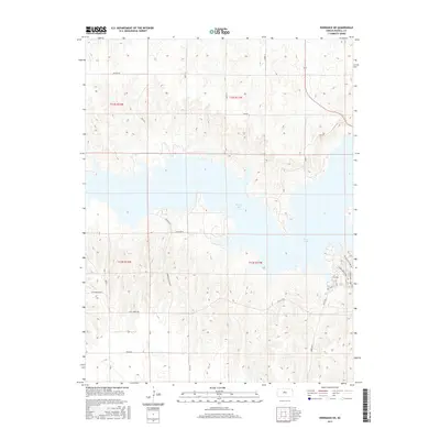
2015 Map of Dorrance NE
USGS Topo · Published 2015About this map
Wilson Lake dominates the central landscape of this Russell County quadrangle, where the impounded waters of the Saline River reach into the surrounding prairie. The 2015 survey reveals a terrain defined by the lake's deeply indented shoreline and the transition from agricultural uplands to recreational spaces. A network of rural section-line roads, including Decker Rd and Balta Rd, provides access to the surrounding farmsteads and fields, while specialized routes like Wilson State Park Rd serve the eastern lakefront. This area is characterized by the modern management of Kansas water resources, with the prominent Dam Rd indicating the civil engineering that transformed this portion of the Smoky Hills region into a significant regional reservoir and recreation hub, complete with trails like the Golden Belt Loop.
Find a feature on this map
28 named features on this map. Tap any name to fly to it.
Don’t see what you’re looking for? This feature index may not catch every label — zoom into the map to look around manually.
Map Details
Editions of this 2015 Dorrance NE Map
This is the sole edition of this map. No revisions or reprints were ever made.
Other maps of this area
1894 · Ellsworth
USGS Topo · 1:125,000
1894 · Beloit
USGS Topo · 1:125,000
1896 · Osborne
USGS Topo · 1:125,000
1896 · Russell
USGS Topo · 1:125,000
1955 · Great Bend
USGS Topo · 1:250,000
1955 · Beloit
USGS Topo · 1:250,000
1956 · Wilson
USGS Topo · 1:24,000
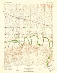
1956 · Dorrance
USGS Topo · 1:24,000
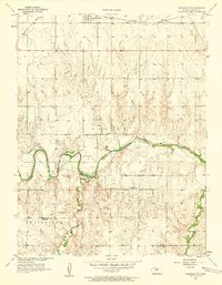
1956 · Dorrance SW
USGS Topo · 1:24,000
1957 · Great Bend
USGS Topo · 1:250,000