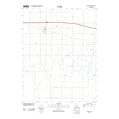
2009 Map of Dorrance
USGS Topo · Published 2009About this map
Dorrance serves as the central settlement in this Russell County survey, situated north of the winding Smoky Hill River. The town's grid is defined by streets like Peck St, while the surrounding rural landscape is dotted with several significant burial grounds, including Saint Joseph Cemetery to the north and Colony Cemetery to the west. These sites, along with Schreiner Cemetery and Immanuel Cemetery, provide valuable anchor points for genealogical research in this part of Kansas.
Find a feature on this map
31 named features on this map. Tap any name to fly to it.
Don’t see what you’re looking for? This feature index may not catch every label — zoom into the map to look around manually.
Map Details
Editions of this 2009 Dorrance Map
This is the sole edition of this map. No revisions or reprints were ever made.
Other maps of this area

1894 · Ellsworth
USGS Topo · 1:125,000

1896 · Russell
USGS Topo · 1:125,000

1955 · Great Bend
USGS Topo · 1:250,000

1956 · Wilson
USGS Topo · 1:24,000

1956 · Dorrance
USGS Topo · 1:24,000

1956 · Dorrance SW
USGS Topo · 1:24,000

1957 · Great Bend
USGS Topo · 1:250,000

1958 · Great Bend
USGS Topo · 1:250,000
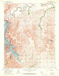
1964 · Wilson NW
USGS Topo · 1:24,000
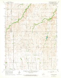
1964 · Holyrood NW
USGS Topo · 1:24,000