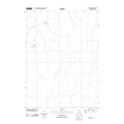
2011 Map of Dorsey NW
USGS Topo · Published 2011About this map
Redbird Creek and the meandering branches of Louse Creek define the hydrology of this Holt County landscape. The map shows a rural area structured by a strict section-line road network, including routes like 887th Rd and Twp Rd. Water management is central to the land use here, evidenced by engineered features such as Witt Reservoir Number 1, held by Witt Dam Number 1, and Becker Reservoir Number 2 further south. These small-scale impoundments on local drainages like West Branch Louse Creek and East Branch Louse Creek suggest a reliance on managed water resources for agriculture or local livestock in a region characterized by its expansive prairie drainages, including Red Otter Creek and Sand Creek.
Find a feature on this map
19 named features on this map. Tap any name to fly to it.
Don’t see what you’re looking for? This feature index may not catch every label — zoom into the map to look around manually.
Map Details
Editions of this 2011 Dorsey NW Map
This is the sole edition of this map. No revisions or reprints were ever made.
Other maps of this area

1950 · Dorsey NW
USGS Topo · 1:24,000

1950 · Lynch
USGS Topo · 1:24,000

1950 · Monowi
USGS Topo · 1:24,000

1951 · Bristow
USGS Topo · 1:24,000

1952 · Monowi
USGS Topo · 1:24,000

1952 · Dorsey
USGS Topo · 1:24,000

1954 · Dorsey SW
USGS Topo · 1:24,000

1954 · Meek NE
USGS Topo · 1:24,000

1954 · Opportunity
USGS Topo · 1:24,000

1954 · Star
USGS Topo · 1:24,000