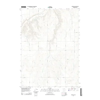
2014 Map of Dorsey NW
USGS Topo · Published 2014About this map
The northern reaches of Holt County are defined by a complex drainage network feeding into Redbird Cr and its various tributaries. This landscape, dominated by topography carved by the west and east branches of Louse Cr, illustrates the importance of water management in Nebraska's agricultural interior. Two specific impoundments, Witt Reservoir Number 1 and Becker Reservoir Number 2, suggest localized efforts to control runoff or provide livestock watering in an area otherwise marked by seasonal stream beds like Sand Cr and Red Otter Cr. The sectional road grid, including 503rd Ave and 887th Rd, provides access across the shifting elevations, while Township RD cuts a diagonal path through the southeastern corner, reflecting the persistent land-use patterns of the Great Plains.
Find a feature on this map
22 named features on this map. Tap any name to fly to it.
Don’t see what you’re looking for? This feature index may not catch every label — zoom into the map to look around manually.
Map Details
Editions of this 2014 Dorsey NW Map
This is the sole edition of this map. No revisions or reprints were ever made.
Other maps of this area
1950 · Dorsey NW
USGS Topo · 1:24,000
1950 · Lynch
USGS Topo · 1:24,000
1950 · Monowi
USGS Topo · 1:24,000
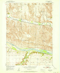
1951 · Bristow
USGS Topo · 1:24,000
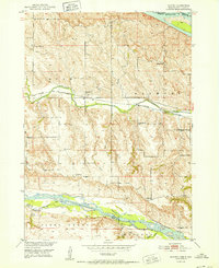
1952 · Monowi
USGS Topo · 1:24,000
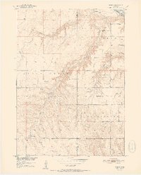
1952 · Dorsey
USGS Topo · 1:24,000
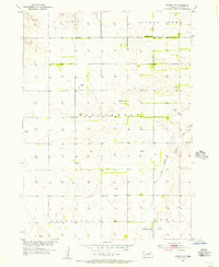
1954 · Dorsey SW
USGS Topo · 1:24,000
1954 · Meek NE
USGS Topo · 1:24,000
1954 · Opportunity
USGS Topo · 1:24,000
1954 · Star
USGS Topo · 1:24,000