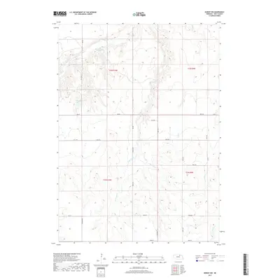
2017 Map of Dorsey NW
USGS Topo · Published 2017About this map
Redbird Cr and its associated drainages carve through this section of Holt County, defining a landscape of localized water management and rural ranching infrastructure. The presence of Witt Reservoir Number 1 and Becker Reservoir Number 2 highlights the area's reliance on captured surface water within the broader Missouri River watershed. A detailed network of section-line roads, such as Oil Co Rd and Township Rd, provides the framework for this sparsely populated region, where terrain is primarily shaped by the winding paths of Louse Cr and its tributaries, including W Br Louse Cr and E Br Louse Cr. This 2017 survey reflects the persistent agrarian character of north-central Nebraska, showing how the land remains partitioned into large sections divided by the Public Land Survey System, as seen in the clear markings for t32n r10w and surrounding townships.
Find a feature on this map
30 named features on this map. Tap any name to fly to it.
Don’t see what you’re looking for? This feature index may not catch every label — zoom into the map to look around manually.
Map Details
Editions of this 2017 Dorsey NW Map
This is the sole edition of this map. No revisions or reprints were ever made.
Other maps of this area
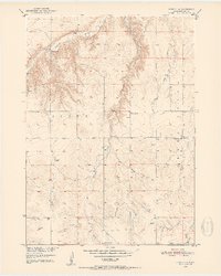
1950 · Dorsey NW
USGS Topo · 1:24,000
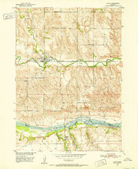
1950 · Lynch
USGS Topo · 1:24,000
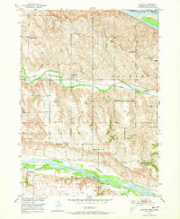
1950 · Monowi
USGS Topo · 1:24,000
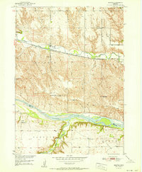
1951 · Bristow
USGS Topo · 1:24,000
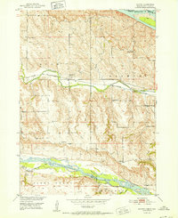
1952 · Monowi
USGS Topo · 1:24,000
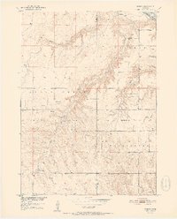
1952 · Dorsey
USGS Topo · 1:24,000
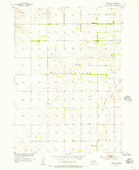
1954 · Dorsey SW
USGS Topo · 1:24,000
1954 · Meek NE
USGS Topo · 1:24,000
1954 · Opportunity
USGS Topo · 1:24,000
1954 · Star
USGS Topo · 1:24,000