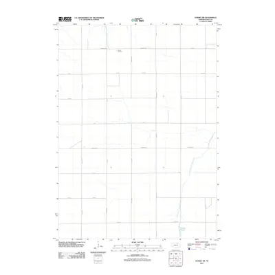
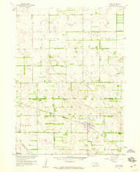
2011 Map of Dorsey SW
USGS Topo · Published 2011About this map
Miniola Cemetery serves as a central landmark in this portion of Holt County, situated amidst a precise grid of rural section roads. The landscape is defined by the winding course of the North Branch Verdigre Creek, which meanders through the eastern sections of the map, and the lower Antelope Slough near the southern boundary. This 2011 survey documents a highly organized agricultural layout, where infrastructure such as 503rd Ave, Twp Hwy Rd, and Co Oil Rd provide access to the vast plains. The drainage patterns of West Branch Louise Creek further illustrate the hydrology of the Nebraska prairie, providing a detailed record of the region's land use and natural features for local historians and researchers.
Find a feature on this map
15 named features on this map. Tap any name to fly to it.
Don’t see what you’re looking for? This feature index may not catch every label — zoom into the map to look around manually.
Map Details
Editions of this 2011 Dorsey SW Map
This is the sole edition of this map. No revisions or reprints were ever made.
Other maps of this area
1950 · Dorsey NW
USGS Topo · 1:24,000
1952 · Dorsey
USGS Topo · 1:24,000
1954 · Dorsey SW
USGS Topo · 1:24,000
1954 · Meek NE
USGS Topo · 1:24,000
1954 · Opportunity
USGS Topo · 1:24,000
1954 · Star
USGS Topo · 1:24,000

1955 · O'Neill
USGS Topo · 1:250,000
1958 · Inman
USGS Topo · 1:24,000
1958 · Page
USGS Topo · 1:24,000

1959 · O'Neill
USGS Topo · 1:250,000