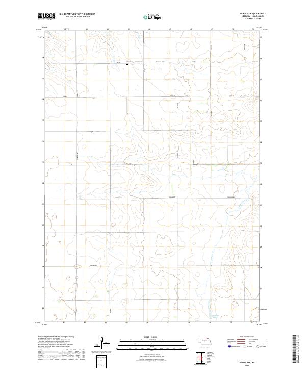
2021 Map of Dorsey SW
USGS Topo · Published 2021About this map
Mineola Cem serves as a primary historical landmark in this section of rural Holt County, situated near the intersection of 882 Rd and Township Rd. The landscape is defined by the subtle drainage patterns of the W Br Louse Cr in the north and the N Br Verdigre Cr winding through the southeast. This 2021 survey reflects the enduring section-line road grid that has structured Nebraska's agricultural interior for over a century, featuring routes like 501st Ave and Co Oil Rd. Near the southern boundary, the terrain levels out at Antelope Slough, indicating the low-lying hydrology typical of the region's prairie-grassland environment. The map provides a precise record of contemporary property boundaries across several townships, including t30n r10w and t31n r9w.
Find a feature on this map
22 named features on this map. Tap any name to fly to it.
Don’t see what you’re looking for? This feature index may not catch every label — zoom into the map to look around manually.
Map Details
Editions of this 2021 Dorsey SW Map
This is the sole edition of this map. No revisions or reprints were ever made.
Other maps of this area

1950 · Dorsey NW
USGS Topo · 1:24,000

1952 · Dorsey
USGS Topo · 1:24,000

1954 · Dorsey SW
USGS Topo · 1:24,000

1954 · Meek NE
USGS Topo · 1:24,000

1954 · Opportunity
USGS Topo · 1:24,000

1954 · Star
USGS Topo · 1:24,000

1955 · O'Neill
USGS Topo · 1:250,000

1958 · Inman
USGS Topo · 1:24,000

1958 · Page
USGS Topo · 1:24,000

1959 · O'Neill
USGS Topo · 1:250,000