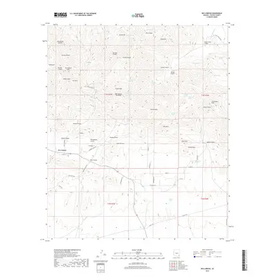
2018 Map of Dos Cabezas
USGS Topo · Published 2018About this map
Dos Cabezas anchors the southwestern foothills of its namesake mountain range, where the desert floor meets the steep rise of the Dos Cabezas Mountains. This high-altitude landscape is characterized by a dense network of water sources, including Ivanhoe Spring, Turkey Spring, and Bota Chiquita Spring, which served as vital life-lines for early mining and ranching operations. The presence of the Mascot Mine Rd and Iron Tower points to the area's extraction history, while the local road network—including Butterfield Rd and Stagecoach Rd—follows historical transit corridors through the Cochise County interior. To the east, the terrain climbs toward prominent summits like Rough Mtn and Government Peak, split by deep drainages such as Happy Camp Canyon and Siphon Canyon. The topography here illustrates the transition from open range to the complex, spring-fed geology of the Arizona sky islands.
Find a feature on this map
73 named features on this map. Tap any name to fly to it.
Don’t see what you’re looking for? This feature index may not catch every label — zoom into the map to look around manually.
Map Details
Editions of this 2018 Dos Cabezas Map
This is the sole edition of this map. No revisions or reprints were ever made.
Other maps of this area
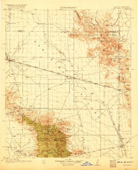
1917 · San Simon
USGS Topo · 1:125,000
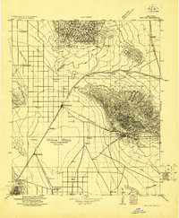
1922 · Willcox
USGS Topo · 1:125,000
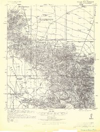
1926 · Cochise Head
USGS Topo · 1:62,500
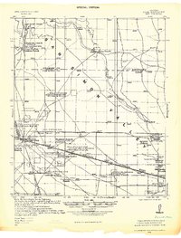
1928 · Bowie
USGS Topo · 1:62,500
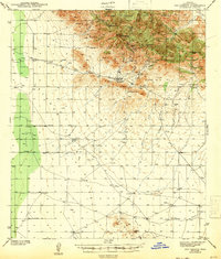
1943 · Dos Cabezas
USGS Topo · 1:62,500
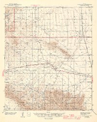
1944 · Fisher Hills
USGS Topo · 1:62,500
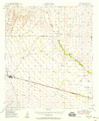
1949 · Bowie
USGS Topo · 1:62,500
1950 · Bowie
USGS Topo · 1:62,500
1950 · Cochise Head
USGS Topo · 1:62,500

1954 · Silver City
USGS Topo · 1:250,000