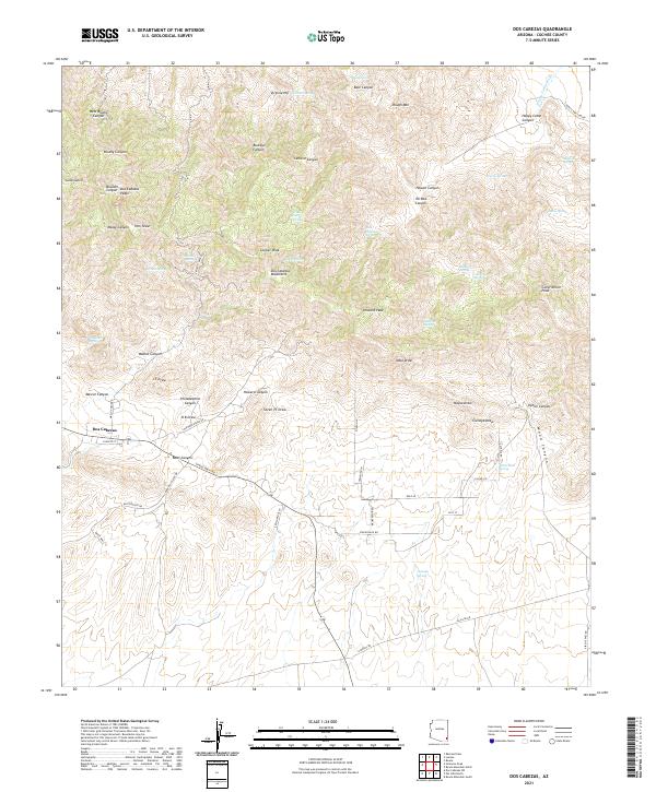
2021 Map of Dos Cabezas
USGS Topo · Published 2021About this map
Dos Cabezas anchors the southwestern edge of this landscape, situated at the base of the Dos Cabezas Mountains. This modern topographical study reveals a network of roads that reflect the area's transit and mining history, including Stagecoach Rd, Butterfield Rd, and Mascot Mine Rd. The terrain is defined by dramatic elevation changes, rising from the desert floor toward high points like Cooper Peak and Dos Cabezas Peaks.
Find a feature on this map
74 named features on this map. Tap any name to fly to it.
Don’t see what you’re looking for? This feature index may not catch every label — zoom into the map to look around manually.
Map Details
Editions of this 2021 Dos Cabezas Map
This is the sole edition of this map. No revisions or reprints were ever made.
Other maps of this area

1917 · San Simon
USGS Topo · 1:125,000

1922 · Willcox
USGS Topo · 1:125,000

1926 · Cochise Head
USGS Topo · 1:62,500

1928 · Bowie
USGS Topo · 1:62,500

1943 · Dos Cabezas
USGS Topo · 1:62,500

1944 · Fisher Hills
USGS Topo · 1:62,500

1949 · Bowie
USGS Topo · 1:62,500

1950 · Bowie
USGS Topo · 1:62,500

1950 · Cochise Head
USGS Topo · 1:62,500

1954 · Silver City
USGS Topo · 1:250,000