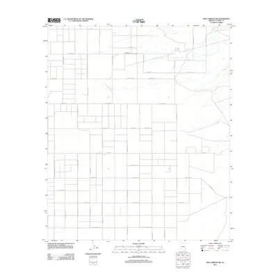
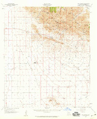
2011 Map of Dos Cabezas SW
USGS Topo · Published 2011About this map
O B Draw defines the drainage patterns of this high-desert landscape in Cochise County, where modern property boundaries and a grid of rural roads reveal the 21st-century transition of traditional ranching lands into smaller acreage and residential parcels. The road network, often named for western motifs or former homesteaders, includes corridors like E Busenbark Rd, Pat Ranch Rd, and E Kimzey Rd. This 2011 survey by the U.S. Geological Survey illustrates how the land has been subdivided north of the Dos Cabezas Mountains, with distinctive local thoroughfares such as S Covered Wagon Rd and S Wells Fargo Rd marking the area's development. While some sections maintain a more open character, the density of labels like S Bear Track Trl and Lone Farm Rd indicates a shift toward rural residential living in this part of Arizona.
Find a feature on this map
39 named features on this map. Tap any name to fly to it.
Don’t see what you’re looking for? This feature index may not catch every label — zoom into the map to look around manually.
Map Details
Editions of this 2011 Dos Cabezas SW Map
This is the sole edition of this map. No revisions or reprints were ever made.
Other maps of this area
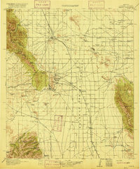
1916 · Pearce
USGS Topo · 1:125,000
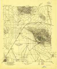
1922 · Willcox
USGS Topo · 1:125,000
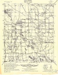
1926 · Light
USGS Topo · 1:62,500
1926 · Courtland
USGS Topo · 1:62,500
1943 · Dos Cabezas
USGS Topo · 1:62,500
1943 · Cochise
USGS Topo · 1:62,500

1954 · Silver City
USGS Topo · 1:250,000
1955 · Douglas
USGS Topo · 1:250,000
1957 · Dos Cabezas
USGS Topo · 1:62,500

1958 · Silver City
USGS Topo · 1:250,000