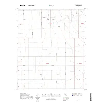
2018 Map of Dos Cabezas SW
USGS Topo · Published 2018About this map
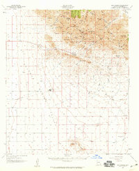
Sulphur Springs Valley dominates this 2018 topographic survey, revealing a landscape defined by an extensive grid of rural roads and drainage patterns in Cochise County. The map captures the expansive basin floor where seasonal watercourses like O B Draw shape the terrain. Local history and transit routes are prominently marked by a network of named tracks and roads, including evocative thoroughfares such as Butterfield Rd, Wells Fargo Rd, and Bear Track Trl. These labels, alongside family-named routes like Kimzey Rd and Figueras Rd, provide a clear picture of modern land division and accessibility within the valley. The survey also precisely delineates the Township and Range boundaries, including t15s r26e and t16s r26e, which anchor the cadastral framework of this southeastern Arizona corridor.
Find a feature on this map
53 named features on this map. Tap any name to fly to it.
Don’t see what you’re looking for? This feature index may not catch every label — zoom into the map to look around manually.
Map Details
Editions of this 2018 Dos Cabezas SW Map
This is the sole edition of this map. No revisions or reprints were ever made.
Other maps of this area
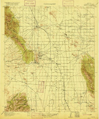
1916 · Pearce
USGS Topo · 1:125,000
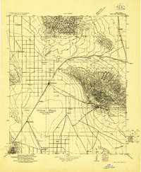
1922 · Willcox
USGS Topo · 1:125,000
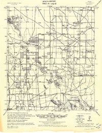
1926 · Light
USGS Topo · 1:62,500
1926 · Courtland
USGS Topo · 1:62,500
1943 · Dos Cabezas
USGS Topo · 1:62,500
1943 · Cochise
USGS Topo · 1:62,500

1954 · Silver City
USGS Topo · 1:250,000
1955 · Douglas
USGS Topo · 1:250,000
1957 · Dos Cabezas
USGS Topo · 1:62,500

1958 · Silver City
USGS Topo · 1:250,000