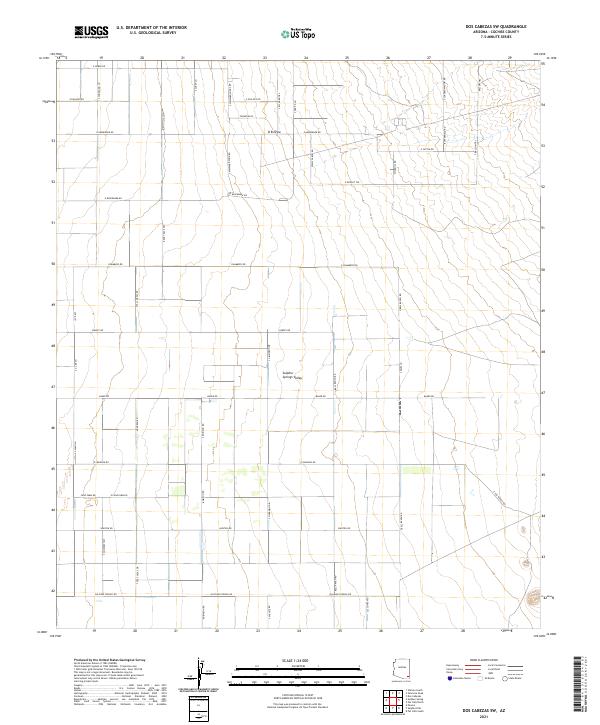
2021 Map of Dos Cabezas SW
USGS Topo · Published 2021About this map
Sulphur Springs Valley dominates this high-desert landscape in Cochise County, showing a sparse but organized grid of rural ranch roads and desert trails. The topography is defined by broad alluvial flats and the seasonal drainage of O B Draw, which cuts across the northern township. Historical movement through the basin is evidenced by names like Butterfield Rd, a likely nod to the historical stage route through this corridor. The map details a transition from traditional larger landholdings to a network of named local roads such as Chambers Rd and Kimzey RD, alongside utility-focused tracks like Windmill Rd. Local family names and landmarks are preserved in labels for Thompson Pl and Bell Ranch Rd, providing a precise record of contemporary settlement patterns in this arid region.
Find a feature on this map
51 named features on this map. Tap any name to fly to it.
Don’t see what you’re looking for? This feature index may not catch every label — zoom into the map to look around manually.
Map Details
Editions of this 2021 Dos Cabezas SW Map
This is the sole edition of this map. No revisions or reprints were ever made.
Other maps of this area

1916 · Pearce
USGS Topo · 1:125,000

1922 · Willcox
USGS Topo · 1:125,000

1926 · Light
USGS Topo · 1:62,500

1926 · Courtland
USGS Topo · 1:62,500

1943 · Dos Cabezas
USGS Topo · 1:62,500

1943 · Cochise
USGS Topo · 1:62,500

1954 · Silver City
USGS Topo · 1:250,000

1955 · Douglas
USGS Topo · 1:250,000

1957 · Dos Cabezas
USGS Topo · 1:62,500

1958 · Silver City
USGS Topo · 1:250,000