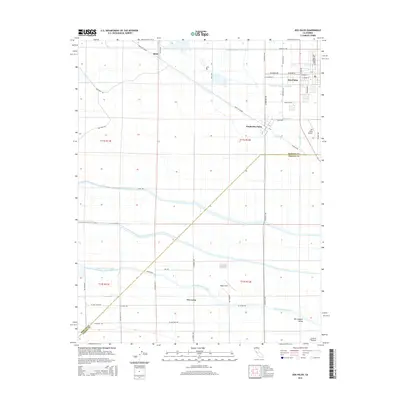
2015 Map of Dos Palos
USGS Topo · Published 2015About this map
Santa Fe Grade cuts a long diagonal through this agricultural landscape in the San Joaquin Valley, reflecting the historical transportation corridors that shaped the Central California interior. The map focuses on the community of Dos Palos and its satellite, South Dos Palos, where a grid of residential streets like Blossom Ave and Almond St meets the surrounding fields. The region’s reliance on complex water management is evident in the dense network of irrigation infrastructure, including the massive Delta-Mendota Canal and smaller local channels such as Laguna Canal, Shain Drain, and Rice Drain. To the south, Oro Loma sits near Eagle Field, while the Dos Palos Airport serves the northern end of the quadrangle. These landmarks, along with smaller settlements like Brito, illustrate the mid-20th-century development of Merced and Fresno counties.
Find a feature on this map
57 named features on this map. Tap any name to fly to it.
Don’t see what you’re looking for? This feature index may not catch every label — zoom into the map to look around manually.
Map Details
Editions of this 2015 Dos Palos Map
This is the sole edition of this map. No revisions or reprints were ever made.
Other maps of this area

1913 · Panoche
USGS Topo · 1:125,000

1916 · Santa Rita Bridge
USGS Topo · 1:24,000

1916 · Delta Ranch
USGS Topo · 1:24,000

1920 · Santa Rita Bridge
USGS Topo · 1:31,680

1921 · Los Banos
USGS Topo · 1:31,680

1921 · Laguna Seca Ranch
USGS Topo · 1:31,680

1922 · Oxalis
USGS Topo · 1:31,680

1922 · Santa Rita Bridge
USGS Topo · 1:31,680

1922 · Charleston School
USGS Topo · 1:31,680

1922 · Dos Palos
USGS Topo · 1:31,680