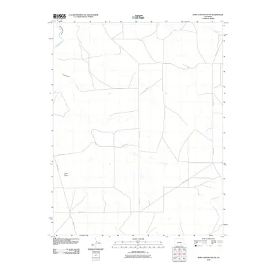
2010 Map of Doss Canyon South
USGS Topo · Published 2010About this map
Pleasant View Cemetery serves as a lone landmark in this high-desert region of Las Animas County, where the landscape is defined by the deep incision of the Purgatoire Canyon and the winding course of the Purgatoire River. The terrain is marked by dry watercourses and seasonal drainages, including the rugged Perly Canyon and Bachicha Creek. A network of county roads, such as County Rd-50 and County Rd-147, provides the only access across these vast stretches of ranch land. This 2010 survey reflects a period of modern land management in southeastern Colorado, where large-scale cattle ranching and isolated family burial grounds persist amidst the dramatic geological formations of the Purgatoire river system.
Find a feature on this map
11 named features on this map. Tap any name to fly to it.
Don’t see what you’re looking for? This feature index may not catch every label — zoom into the map to look around manually.
Map Details
Editions of this 2010 Doss Canyon South Map
This is the sole edition of this map. No revisions or reprints were ever made.
Other maps of this area

1891 · Mesa De Maya
USGS Topo · 1:125,000

1893 · Mesa de Maya
USGS Topo · 1:125,000

1955 · La Junta
USGS Topo · 1:250,000

1958 · La Junta
USGS Topo · 1:250,000

1968 · La Junta
USGS Topo · 1:250,000

1972 · Johnson Canyon
USGS Topo · 1:24,000

1972 · Doss Canyon North
USGS Topo · 1:24,000

1972 · Miners Peak
USGS Topo · 1:24,000

1972 · Doss Canyon South
USGS Topo · 1:24,000
1972 · Painted Canyon
USGS Topo · 1:24,000