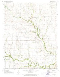
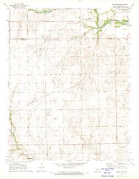
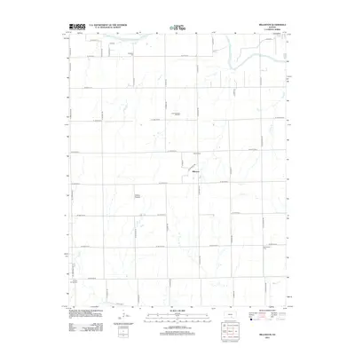
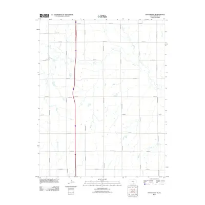
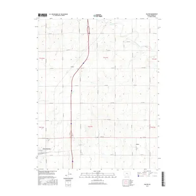
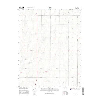
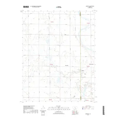
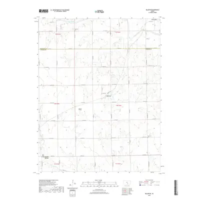
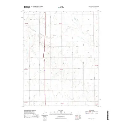
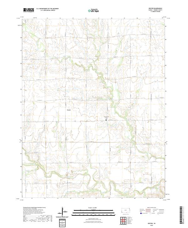
1971 Map of Doster
USGS Topo · Published 1973About this map
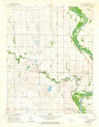
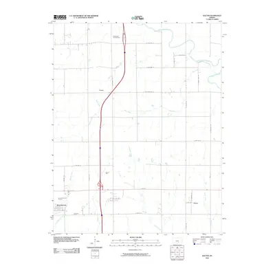
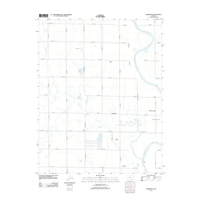
The Old Indian Treaty Boundary carves a straight horizontal line across this rural Sumner County landscape, marking a significant historical surveyor's division just north of the Kansas Oklahoma state line. The small settlement of Doster sits centrally along the Atchison Topeka and Santa Fe railroad, serving as a transit point in a region defined by agricultural fields and meandering waterways. To the south, the Fall Creek Oil Field indicates the presence of localized petroleum extraction near the banks of Fall Creek.
Find a feature on this map
14 named features on this map. Tap any name to fly to it.
Don’t see what you’re looking for? This feature index may not catch every label — zoom into the map to look around manually.
Map Details
Editions of this 1971 Doster Map
This is the sole edition of this map. No revisions or reprints were ever made.
Historical Maps of Doster Through Time
60 maps found
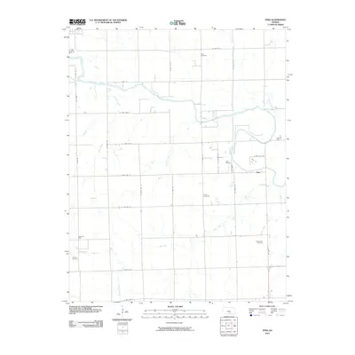
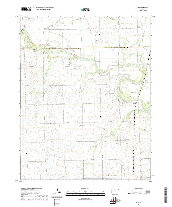
1955 Zyba
Sumner County, KS
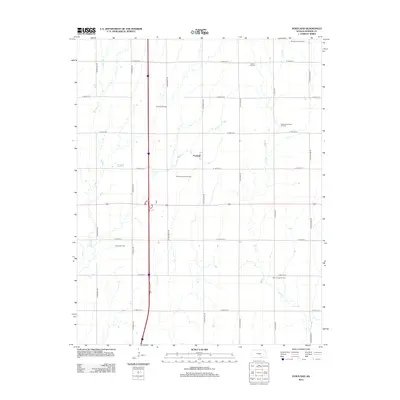
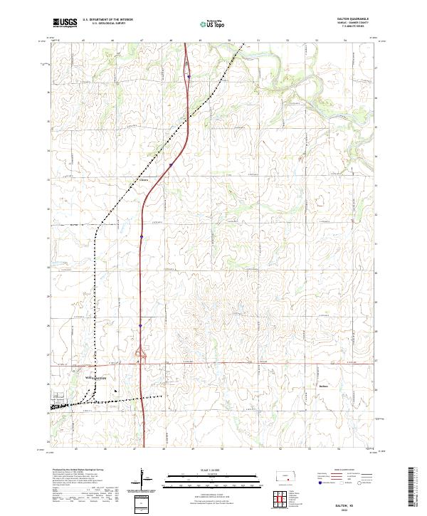
1964 Dalton
Sumner County, KS
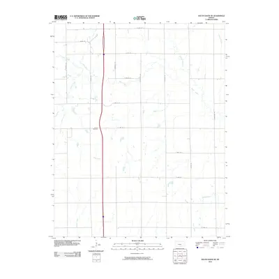
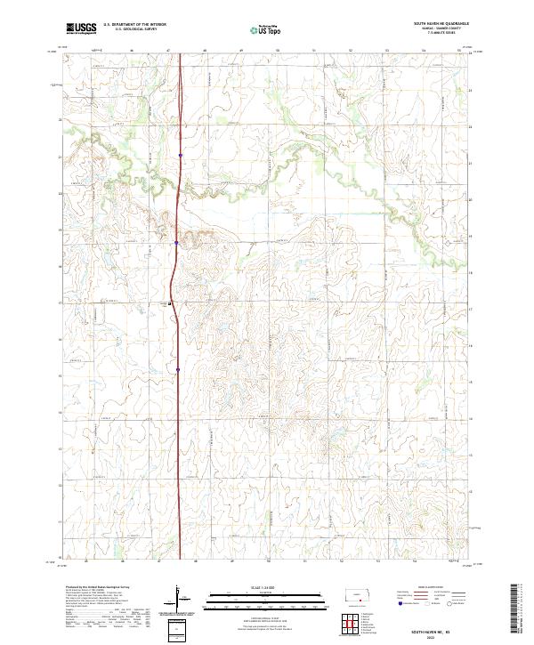
1964 South Haven NE
Sumner County, KS
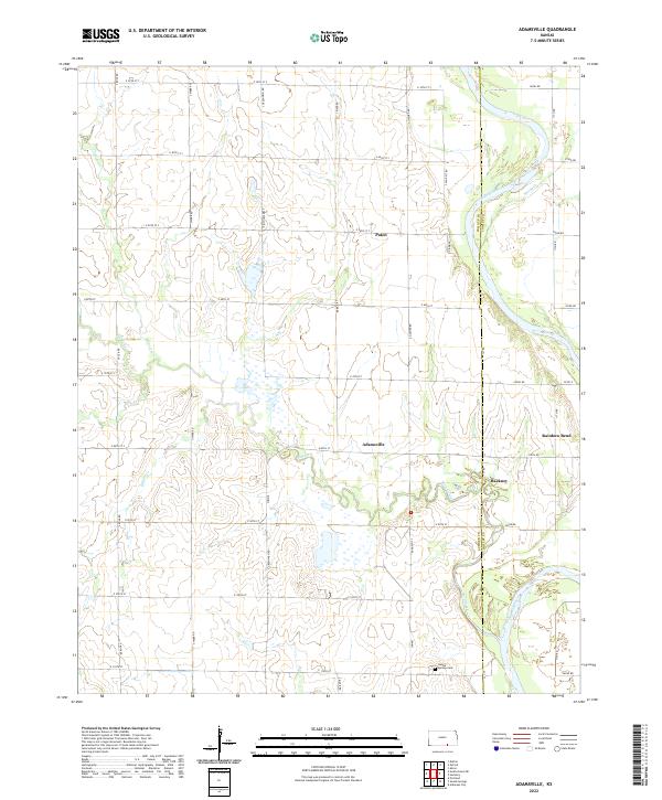
1965 Adamsville
Sumner County, KS
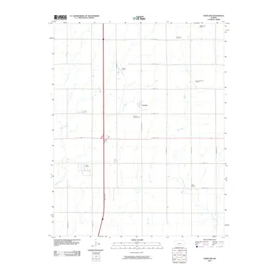
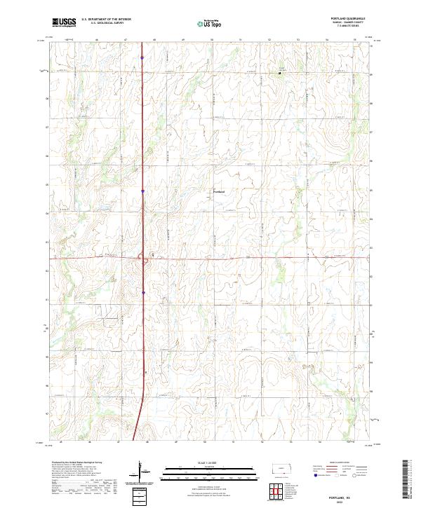
1965 Portland
Sumner County, KS
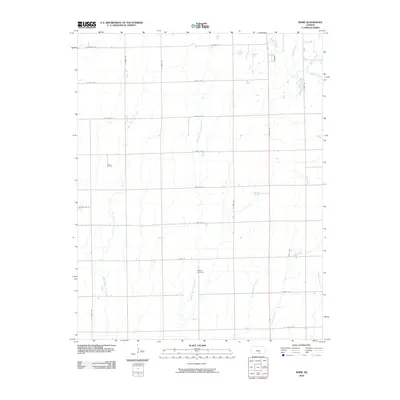
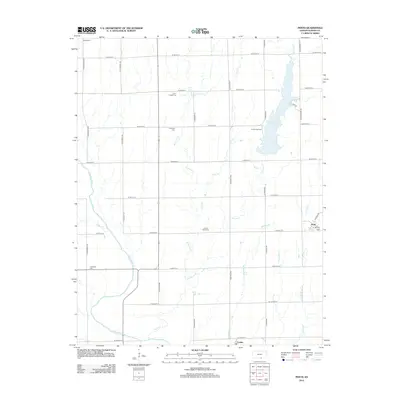
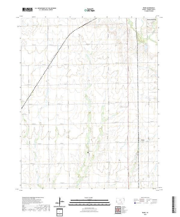
1965 Rome
Sumner County, KS
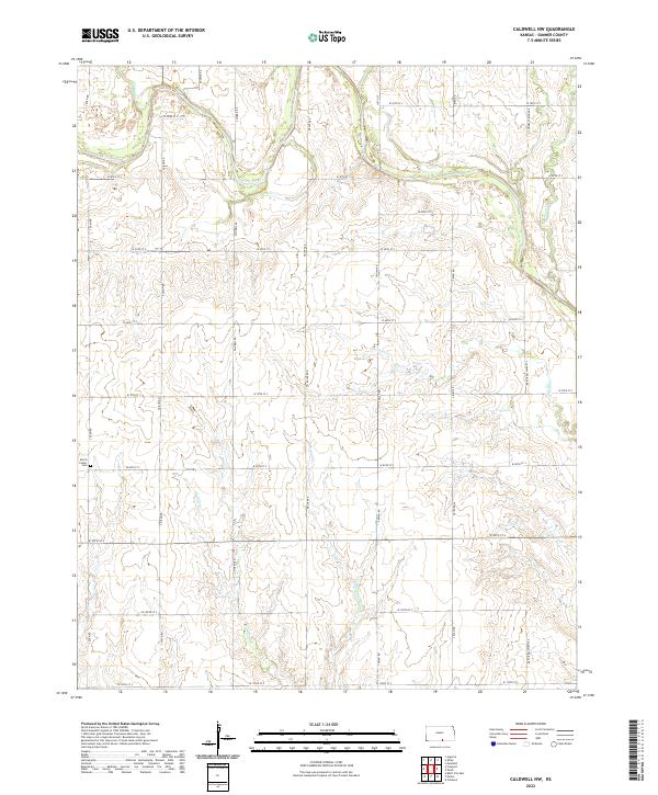
1971 Caldwell NW
Sumner County, KS
1971 Doster
Sumner County, KS
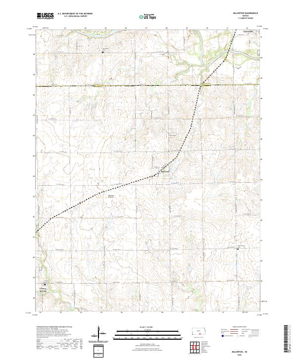
1971 Millerton
Sumner County, KS
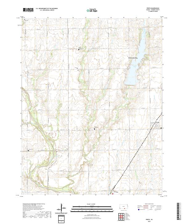
1971 Perth
Sumner County, KS
2010 Adamsville
Sumner County, KS
2010 Caldwell NW
Sumner County, KS
2010 Dalton
Sumner County, KS
2010 Doster
Sumner County, KS
2010 Millerton
Sumner County, KS
2010 Perth
Sumner County, KS
2010 Portland
Sumner County, KS
2010 Rome
Sumner County, KS
2010 South Haven NE
Sumner County, KS
2010 Zyba
Sumner County, KS
2012 Adamsville
Sumner County, KS
2012 Caldwell NW
Sumner County, KS
2012 Dalton
Sumner County, KS
2012 Doster
Sumner County, KS
2012 Millerton
Sumner County, KS
2012 Perth
Sumner County, KS
2012 Portland
Sumner County, KS
2012 Rome
Sumner County, KS
2012 South Haven NE
Sumner County, KS
2012 Zyba
Sumner County, KS
2015 Adamsville
Sumner County, KS
2015 Caldwell NW
Sumner County, KS
2015 Dalton
Sumner County, KS
2015 Doster
Sumner County, KS
2015 Millerton
Sumner County, KS
2015 Perth
Sumner County, KS
2015 Portland
Sumner County, KS
2015 Rome
Sumner County, KS
2015 South Haven NE
Sumner County, KS
2015 Zyba
Sumner County, KS
2018 Adamsville
Sumner County, KS
2018 Caldwell NW
Sumner County, KS
2018 Dalton
Sumner County, KS
2018 Doster
Sumner County, KS
2018 Millerton
Sumner County, KS
2018 Perth
Sumner County, KS
2018 Portland
Sumner County, KS
2018 Rome
Sumner County, KS
2018 South Haven NE
Sumner County, KS
2018 Zyba
Sumner County, KS
2022 Adamsville
Sumner County, KS
2022 Caldwell NW
Sumner County, KS
2022 Dalton
Sumner County, KS
2022 Doster
Sumner County, KS
2022 Millerton
Sumner County, KS
2022 Perth
Sumner County, KS
2022 Portland
Sumner County, KS
2022 Rome
Sumner County, KS
2022 South Haven NE
Sumner County, KS
2022 Zyba
Sumner County, KS