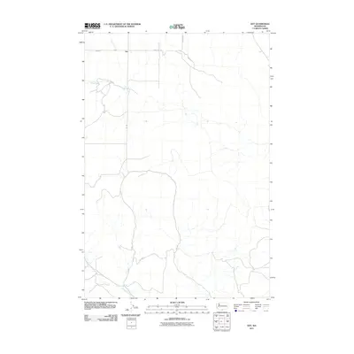
2011 Map of Dot
USGS Topo · Published 2011About this map
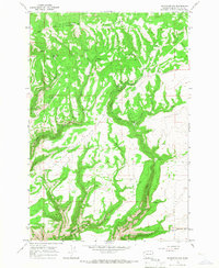
Dot is the central point of interest in this rural Klickitat County landscape, situated near the northern edge of the survey where several local routes converge. The terrain is defined by its drainages, including the course of White Creek as it winds through the northwest and the southern reaches of Chapman Creek. These water sources were vital for the early ranching and agricultural operations in this part of Washington.
Find a feature on this map
9 named features on this map. Tap any name to fly to it.
Don’t see what you’re looking for? This feature index may not catch every label — zoom into the map to look around manually.
Map Details
Editions of this 2011 Dot Map
This is the sole edition of this map. No revisions or reprints were ever made.
Other maps of this area

1916 · Arlington
USGS Topo · 1:125,000

1953 · The Dalles
USGS Topo · 1:250,000

1956 · The Dalles
USGS Topo · 1:250,000

1957 · The Dalles
USGS Topo · 1:250,000
1962 · Crider Valley
USGS Topo · 1:24,000

1962 · Wood Gulch
USGS Topo · 1:24,000

1965 · Goodnoe Hills
USGS Topo · 1:24,000
1965 · Bickleton
USGS Topo · 1:24,000
1965 · Dot
USGS Topo · 1:24,000
1965 · Bickleton NW
USGS Topo · 1:24,000