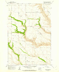
1962 Map of Crider Valley
USGS Topo · Published 1963About this map
Crider Valley and its surrounding canyons define this section of the Klickitat County landscape in the early 1960s. The settlement of Hale serves as a local point of reference, situated near the intersection of several rural routes including Hale Road and Matsen Road. The topography is marked by deep drainage patterns, most notably the winding courses of Alder Creek and Sixprong Creek, which have carved significant relief into the terrain below Alder Sand Ridge. Agricultural infrastructure is prominent throughout the survey, indicated by numerous Storage Bins scattered across the plateau and valley floors. This mapping reveals a network of unimproved and light-duty roads like Coleman Road and Stegeman Road that connect isolated farmsteads and storage sites, reflecting the rural ranching and farming economy of the Washington interior prior to late-century modernization.
Find a feature on this map
22 named features on this map. Tap any name to fly to it.
Don’t see what you’re looking for? This feature index may not catch every label — zoom into the map to look around manually.
Map Details
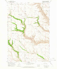
Editions of this 1962 Crider Valley Map
2 editions found
Other maps of this area

1910 · Zillah
USGS Topo · 1:125,000

1916 · Arlington
USGS Topo · 1:125,000

1950 · Yakima
USGS Topo · 1:250,000

1953 · The Dalles
USGS Topo · 1:250,000

1956 · The Dalles
USGS Topo · 1:250,000

1957 · The Dalles
USGS Topo · 1:250,000

1958 · Yakima
USGS Topo · 1:250,000

1961 · Yakima
USGS Topo · 1:250,000
1962 · Douty Canyon
USGS Topo · 1:24,000

1962 · Heppner Junction
USGS Topo · 1:24,000