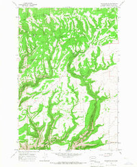
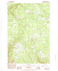
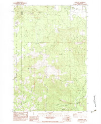
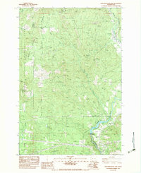
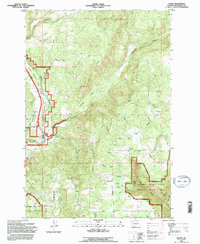
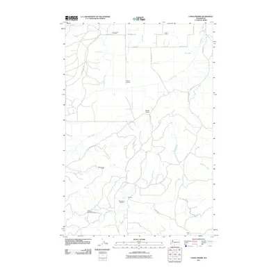
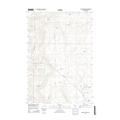
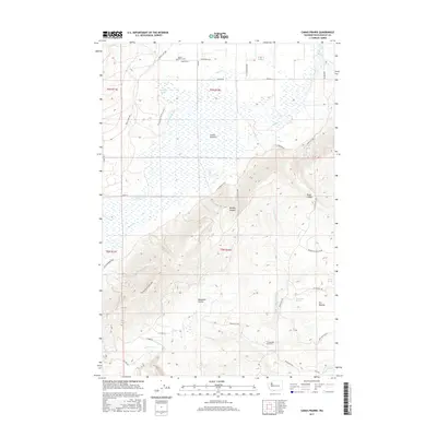
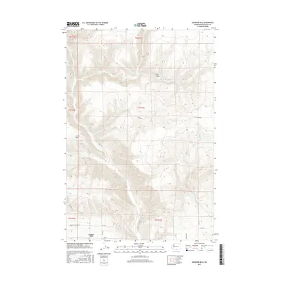
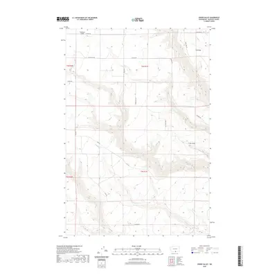
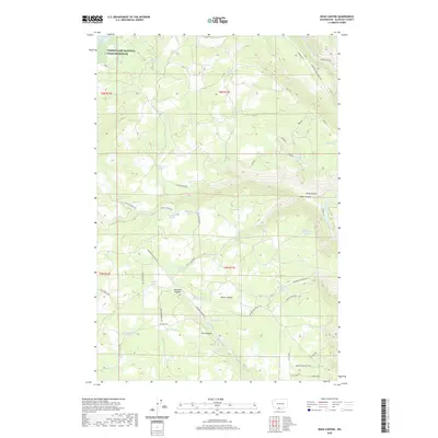
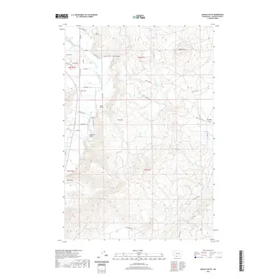
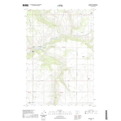
1962 Map of Crider Valley
USGS Topo · Published 1966About this map
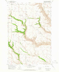
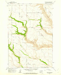
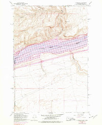
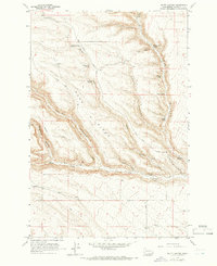
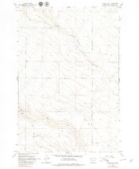
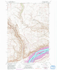
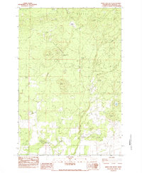
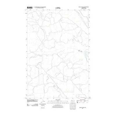
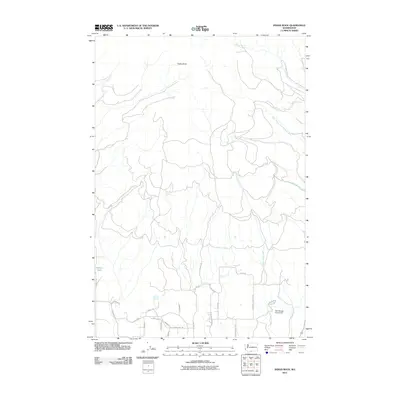
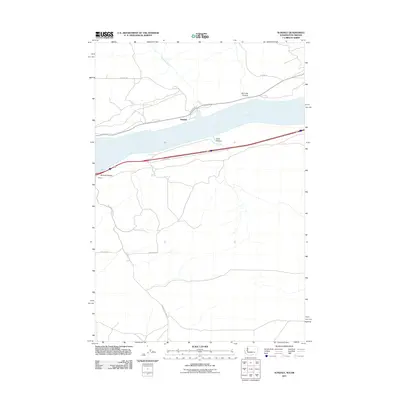
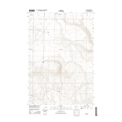
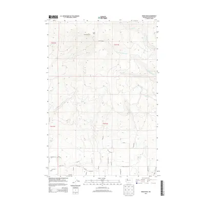
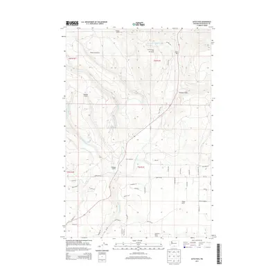
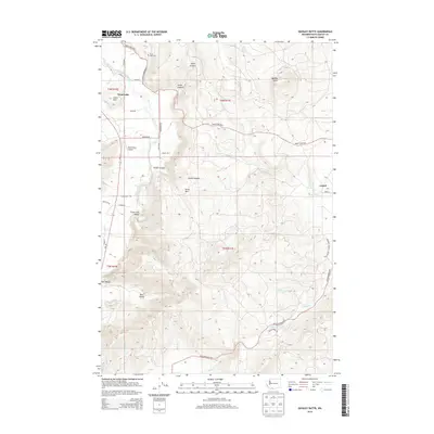
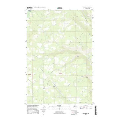
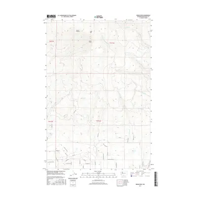
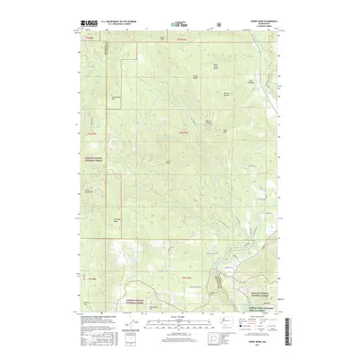
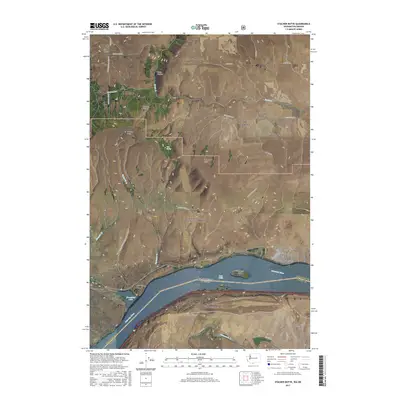
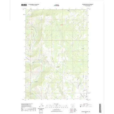
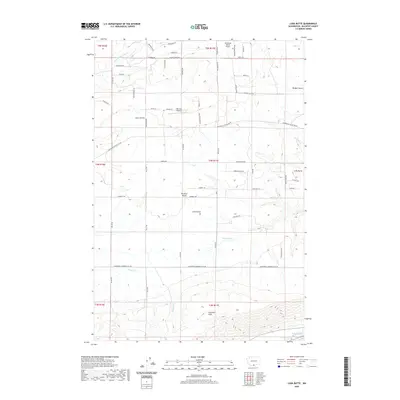
Crider Valley and the surrounding high plateau of Klickitat County are defined by a complex network of seasonal drainages and agricultural infrastructure as they appeared in the early 1960s. The landscape is marked by numerous Storage Bins positioned along the rim of Alder Canyon, indicating a robust dryland farming economy dependent on these upland storage points. Access to these remote sections was provided by a grid of family-named routes, including Matsen Road, Coleman Road, and Hale Road. The terrain drops sharply from Sand Ridge into deep coulees where Pine Creek and Sixprong Creek converge. This survey, based on 1958 photography, captures the rural character of the region before modern consolidation, preserving the specific placement of individual grain bins and the exact paths of unimproved roads like Stegeman Road and Whitmore Road.
Find a feature on this map
20 named features on this map. Tap any name to fly to it.
Don’t see what you’re looking for? This feature index may not catch every label — zoom into the map to look around manually.
Map Details
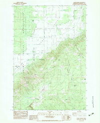
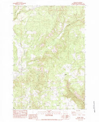
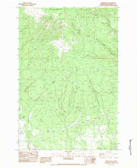
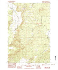
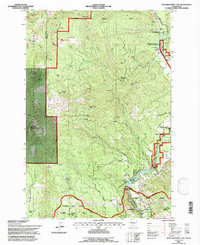
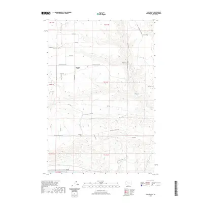
Editions of this 1962 Crider Valley Map
2 editions found
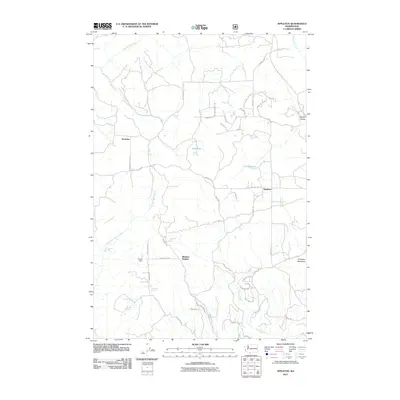
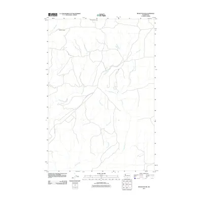
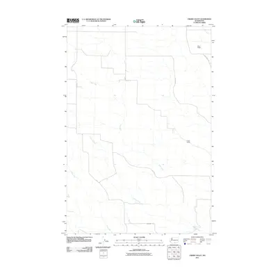
Historical Maps of Klickitat County Through Time
158 maps found
1957 Husum
Klickitat County, WA
1957 Satus Pass
Klickitat County, WA
1962 Alderdale
Klickitat County, WA
1962 Crider Valley
Klickitat County, WA
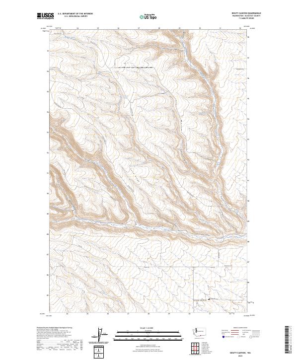
1962 Douty Canyon
Klickitat County, WA
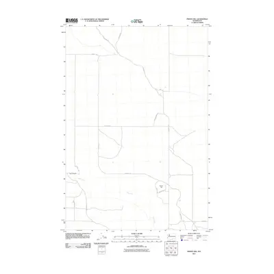
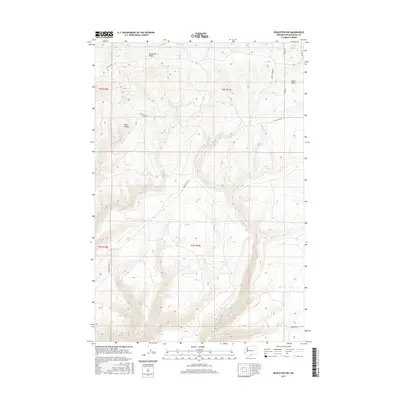
1962 Phinny Hill
Klickitat County, WA
1962 Wood Gulch
Klickitat County, WA
1965 Bickleton NW
Klickitat County, WA
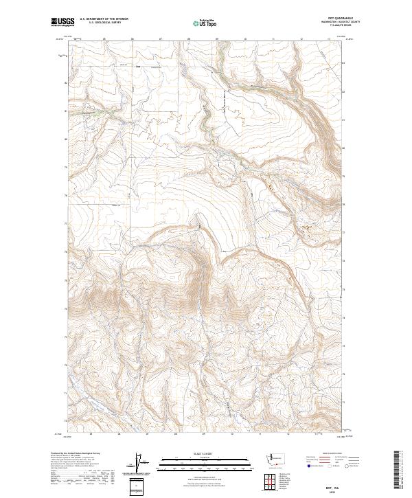
1965 Dot
Klickitat County, WA
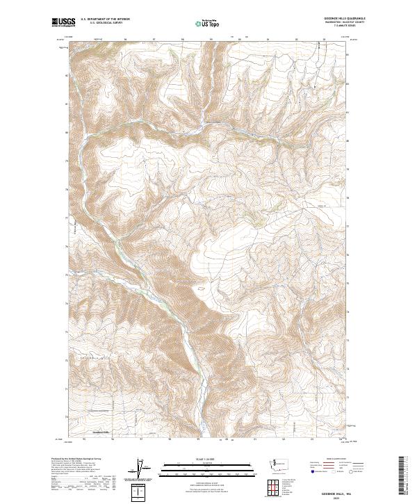
1965 Goodnoe Hills
Klickitat County, WA
1974 Stacker Butte
Klickitat County, WA
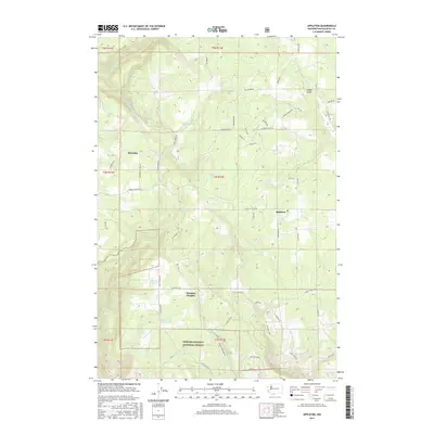
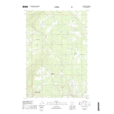
1983 Appleton
Klickitat County, WA
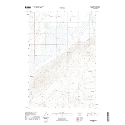
1983 Camas Prairie
Klickitat County, WA
1983 Dead Canyon
Klickitat County, WA
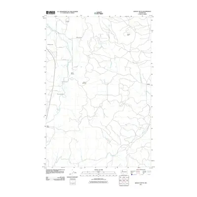
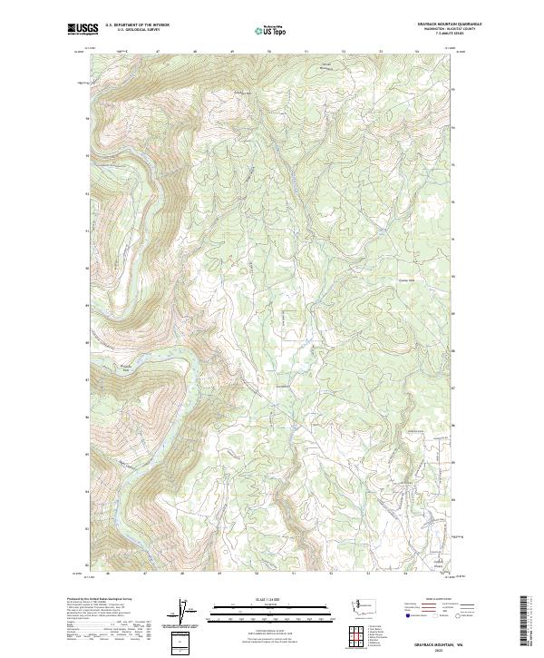
1983 Grayback Mtn
Klickitat County, WA
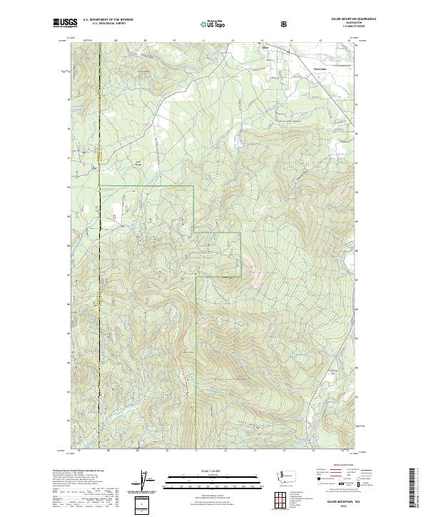
1983 Guler Mtn
Klickitat County, WA
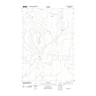
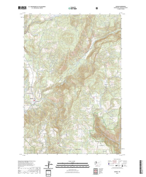
1983 Husum
Klickitat County, WA
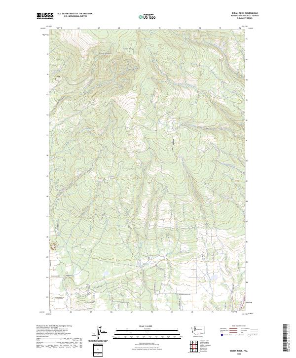
1983 Indian Rock
Klickitat County, WA
1983 Lone Pine Butte
Klickitat County, WA

1983 Luna Butte
Klickitat County, WA

1983 Luna Gulch
Klickitat County, WA
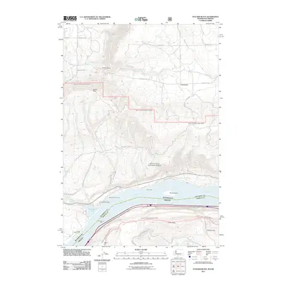
1983 Northwestern Lake
Klickitat County, WA
1983 Quigley Butte
Klickitat County, WA
1983 Satus Pass
Klickitat County, WA
1983 Wahkiacus
Klickitat County, WA
1983 White Pine Buttes
Klickitat County, WA
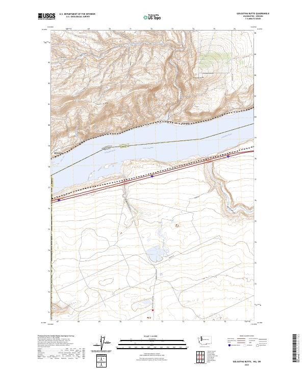
1993 Golgotha Butte
Klickitat County, WA
1993 Phinny Hill
Klickitat County, WA
1994 Appleton
Klickitat County, WA
1994 Husum
Klickitat County, WA
1994 Northwestern Lake
Klickitat County, WA
1994 Stacker Butte
Klickitat County, WA
1998 Guler Mountain
Klickitat County, WA
2011 Appleton
Klickitat County, WA
2011 Bickleton NW
Klickitat County, WA
2011 Camas Prairie
Klickitat County, WA
2011 Crider Valley
Klickitat County, WA
2011 Dead Canyon
Klickitat County, WA
2011 Dot
Klickitat County, WA
2011 Douty Canyon
Klickitat County, WA
2011 Golgotha Butte
Klickitat County, WA
2011 Goodnoe Hills
Klickitat County, WA
2011 Grayback Mountain
Klickitat County, WA
2011 Guler Mountain
Klickitat County, WA
2011 Husum
Klickitat County, WA
2011 Indian Rock
Klickitat County, WA

2011 Lone Pine Butte
Klickitat County, WA
2011 Luna Butte
Klickitat County, WA
2011 Luna Gulch
Klickitat County, WA
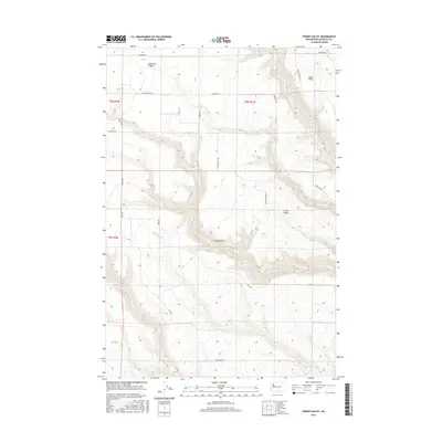
2011 Penny Ridge
Klickitat County, WA
2011 Phinny Hill
Klickitat County, WA
2011 Quigley Butte
Klickitat County, WA
2011 Satus Pass
Klickitat County, WA
2011 Stacker Butte
Klickitat County, WA
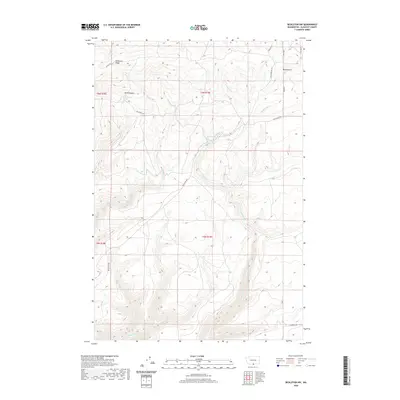
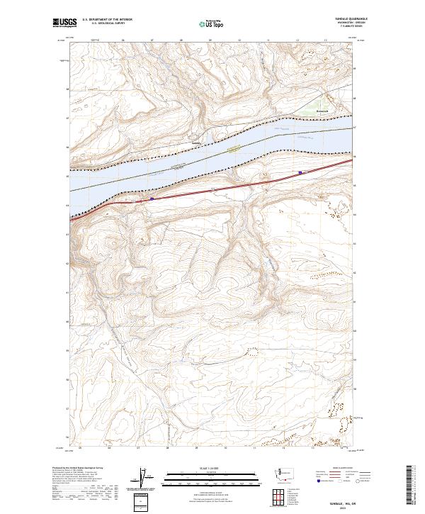
2011 Sundale
Klickitat County, WA

2011 Wahkiacus
Klickitat County, WA
2011 White Pine Buttes
Klickitat County, WA
2011 Wood Gulch
Klickitat County, WA
2013 Bickleton NW
Klickitat County, WA
2013 Dot
Klickitat County, WA
2013 Douty Canyon
Klickitat County, WA
2013 Golgotha Butte
Klickitat County, WA
2013 Goodnoe Hills
Klickitat County, WA
2013 Indian Rock
Klickitat County, WA

2013 Lone Pine Butte
Klickitat County, WA
2013 Luna Butte
Klickitat County, WA
2013 Luna Gulch
Klickitat County, WA
2013 Phinny Hill
Klickitat County, WA
2013 Satus Pass
Klickitat County, WA

2013 Sundale
Klickitat County, WA
2014 Appleton
Klickitat County, WA
2014 Camas Prairie
Klickitat County, WA
2014 Crider Valley
Klickitat County, WA

2014 Dead Canyon
Klickitat County, WA
2014 Grayback Mountain
Klickitat County, WA
2014 Guler Mountain
Klickitat County, WA
2014 Husum
Klickitat County, WA
2014 Penny Ridge
Klickitat County, WA
2014 Quigley Butte
Klickitat County, WA
2014 Stacker Butte
Klickitat County, WA
2014 Wahkiacus
Klickitat County, WA

2014 White Pine Buttes
Klickitat County, WA
2014 Wood Gulch
Klickitat County, WA
2017 Appleton
Klickitat County, WA
2017 Bickleton NW
Klickitat County, WA
2017 Camas Prairie
Klickitat County, WA
2017 Crider Valley
Klickitat County, WA
2017 Dead Canyon
Klickitat County, WA
2017 Dot
Klickitat County, WA
2017 Douty Canyon
Klickitat County, WA
2017 Golgotha Butte
Klickitat County, WA
2017 Goodnoe Hills
Klickitat County, WA
2017 Grayback Mountain
Klickitat County, WA
2017 Guler Mountain
Klickitat County, WA
2017 Husum
Klickitat County, WA
2017 Indian Rock
Klickitat County, WA
2017 Lone Pine Butte
Klickitat County, WA
2017 Luna Butte
Klickitat County, WA
2017 Luna Gulch
Klickitat County, WA
2017 Penny Ridge
Klickitat County, WA
2017 Phinny Hill
Klickitat County, WA
2017 Quigley Butte
Klickitat County, WA
2017 Satus Pass
Klickitat County, WA
2017 Stacker Butte
Klickitat County, WA
2017 Sundale
Klickitat County, WA
2017 Wahkiacus
Klickitat County, WA

2017 White Pine Buttes
Klickitat County, WA
2017 Wood Gulch
Klickitat County, WA
2020 Appleton
Klickitat County, WA
2020 Bickleton NW
Klickitat County, WA
2020 Camas Prairie
Klickitat County, WA
2020 Crider Valley
Klickitat County, WA
2020 Dead Canyon
Klickitat County, WA

2020 Dot
Klickitat County, WA
2020 Douty Canyon
Klickitat County, WA
2020 Golgotha Butte
Klickitat County, WA
2020 Goodnoe Hills
Klickitat County, WA
2020 Grayback Mountain
Klickitat County, WA
2020 Guler Mountain
Klickitat County, WA
2020 Husum
Klickitat County, WA
2020 Indian Rock
Klickitat County, WA

2020 Lone Pine Butte
Klickitat County, WA
2020 Luna Butte
Klickitat County, WA
2020 Luna Gulch
Klickitat County, WA
2020 Penny Ridge
Klickitat County, WA
2020 Phinny Hill
Klickitat County, WA
2020 Quigley Butte
Klickitat County, WA
2020 Satus Pass
Klickitat County, WA
2020 Stacker Butte
Klickitat County, WA
2020 Sundale
Klickitat County, WA
2020 Wahkiacus
Klickitat County, WA
2020 White Pine Buttes
Klickitat County, WA
2020 Wood Gulch
Klickitat County, WA
2023 Appleton
Klickitat County, WA
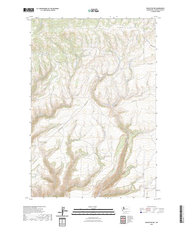
2023 Bickleton NW
Klickitat County, WA
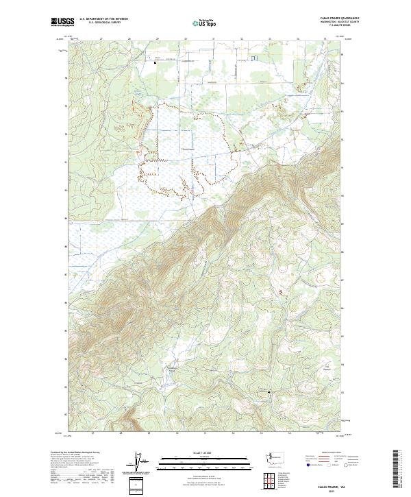
2023 Camas Prairie
Klickitat County, WA
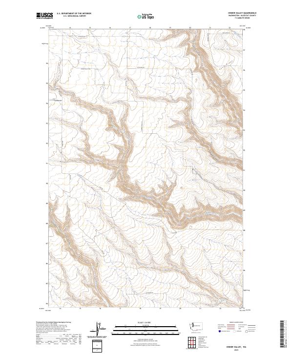
2023 Crider Valley
Klickitat County, WA
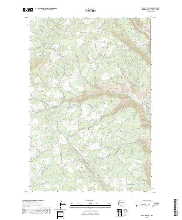
2023 Dead Canyon
Klickitat County, WA
2023 Dot
Klickitat County, WA
2023 Douty Canyon
Klickitat County, WA
2023 Golgotha Butte
Klickitat County, WA
2023 Goodnoe Hills
Klickitat County, WA
2023 Grayback Mountain
Klickitat County, WA
2023 Guler Mountain
Klickitat County, WA
2023 Husum
Klickitat County, WA
2023 Indian Rock
Klickitat County, WA
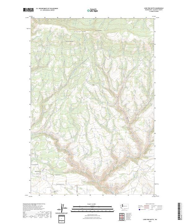
2023 Lone Pine Butte
Klickitat County, WA
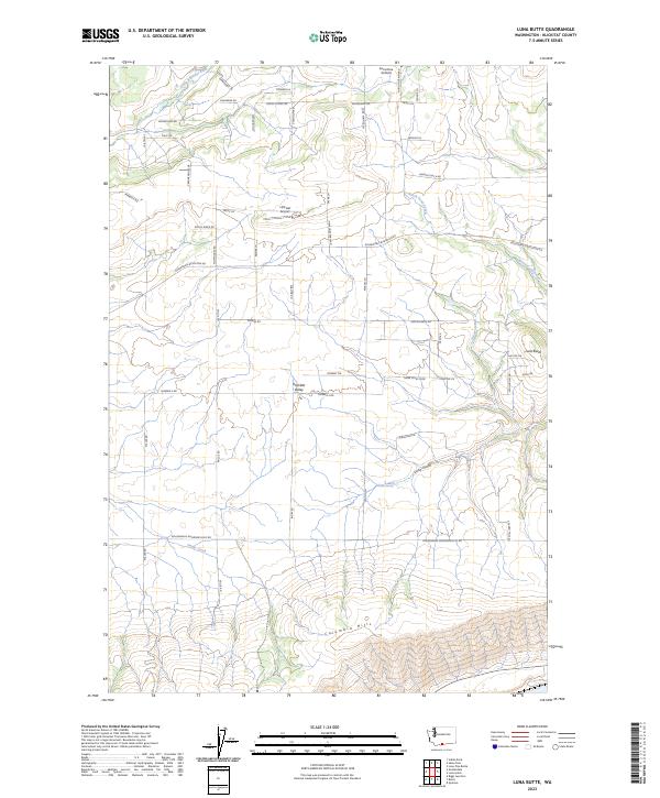
2023 Luna Butte
Klickitat County, WA
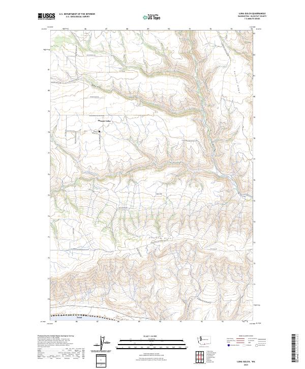
2023 Luna Gulch
Klickitat County, WA
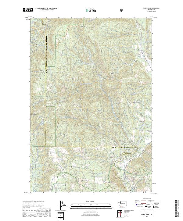
2023 Penny Ridge
Klickitat County, WA
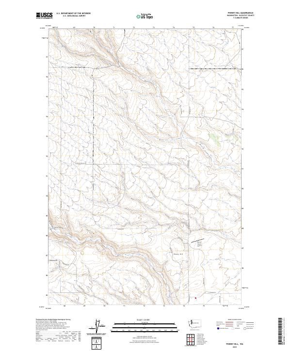
2023 Phinny Hill
Klickitat County, WA
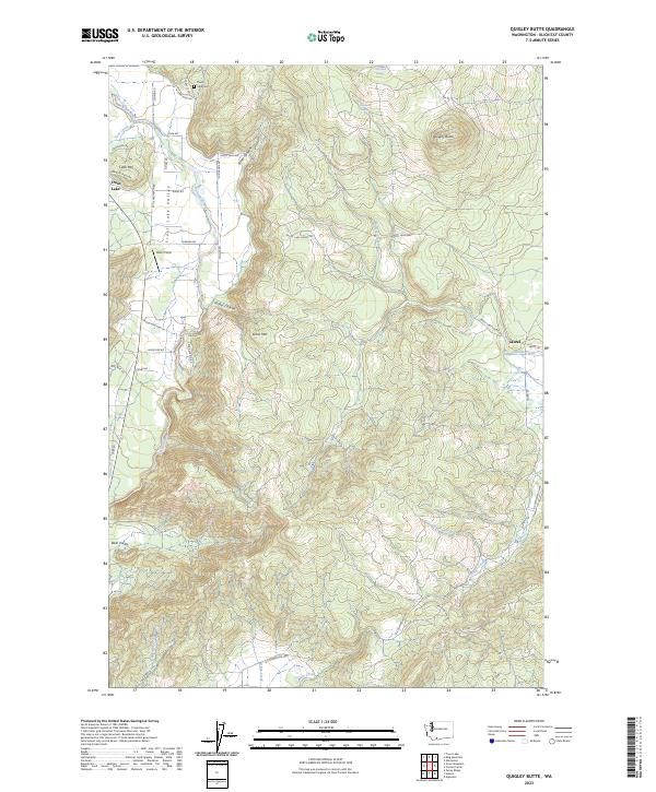
2023 Quigley Butte
Klickitat County, WA
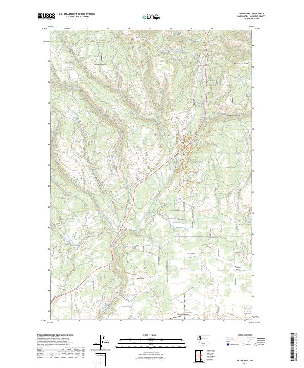
2023 Satus Pass
Klickitat County, WA
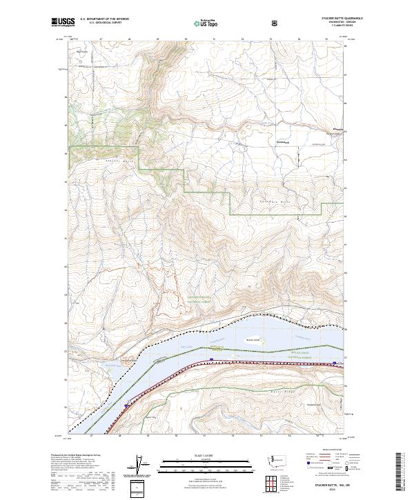
2023 Stacker Butte
Klickitat County, WA
2023 Sundale
Klickitat County, WA
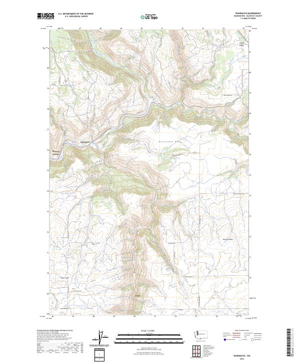
2023 Wahkiacus
Klickitat County, WA
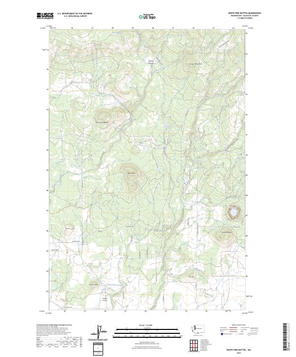
2023 White Pine Buttes
Klickitat County, WA
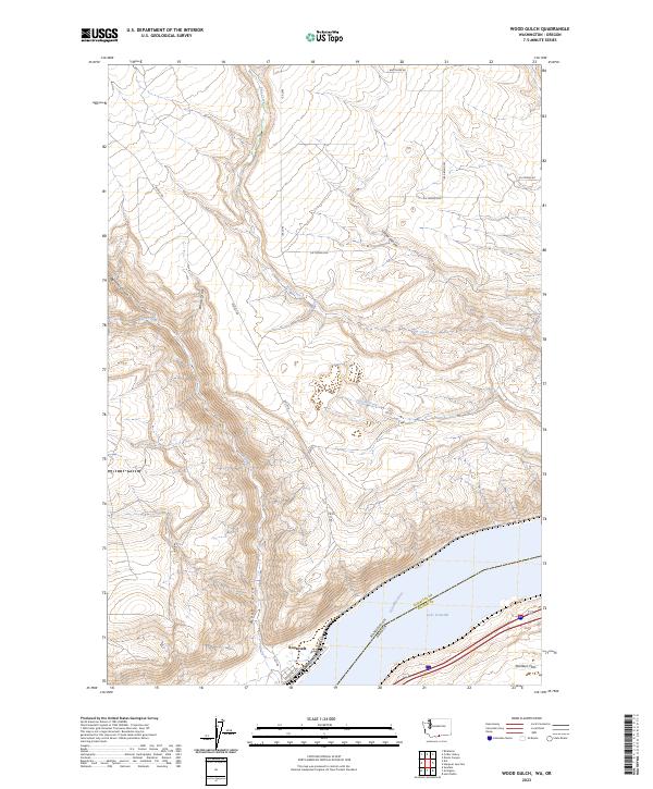
2023 Wood Gulch
Klickitat County, WA