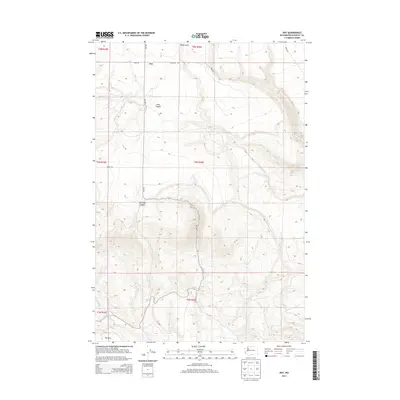
2013 Map of Dot
USGS Topo · Published 2013About this map
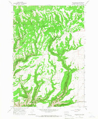
Dot is the primary settlement focal point in this high-plateau section of Klickitat County, where the landscape is defined by a network of steep drainage canyons and agricultural plateaus. The topography is deeply incised by Old Lady Canyon and Glass Canyon, which drop away from the upland fields into the White Creek and Chapman Creek systems. A distinct local landmark known as The Burn sits in the southwest corner, suggesting the impact of past wildfire on the local vegetation and land management.
Find a feature on this map
21 named features on this map. Tap any name to fly to it.
Don’t see what you’re looking for? This feature index may not catch every label — zoom into the map to look around manually.
Map Details
Editions of this 2013 Dot Map
This is the sole edition of this map. No revisions or reprints were ever made.
Other maps of this area

1916 · Arlington
USGS Topo · 1:125,000

1953 · The Dalles
USGS Topo · 1:250,000

1956 · The Dalles
USGS Topo · 1:250,000

1957 · The Dalles
USGS Topo · 1:250,000
1962 · Crider Valley
USGS Topo · 1:24,000

1962 · Wood Gulch
USGS Topo · 1:24,000

1965 · Goodnoe Hills
USGS Topo · 1:24,000
1965 · Bickleton
USGS Topo · 1:24,000
1965 · Dot
USGS Topo · 1:24,000
1965 · Bickleton NW
USGS Topo · 1:24,000