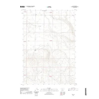
2020 Map of Dot
USGS Topo · Published 2020About this map
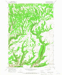
Dot occupies a high-elevation plateau in the eastern Klickitat County uplands, where the landscape is defined by deep incisions like Old Lady Canyon and Glass Canyon. This 2020 survey illustrates a sparsely populated agricultural and ranching district where movement is dictated by a network of rural roads such as Dot Rd, Ward Rd, and Schrantz Rd. The presence of Old Spring and drainage systems like White Cr and Wood Cr highlight the importance of water management in this high-desert environment. To the south, the path of Old Hwy 8 snakes through the terrain, marking the corridor for regional transit across the plateau. The map captures a transition between the northern gulches, such as Wood Gulch, and the complex topography of the south, providing a clear record of the area's property boundaries and land use patterns at the start of the decade.
Find a feature on this map
21 named features on this map. Tap any name to fly to it.
Don’t see what you’re looking for? This feature index may not catch every label — zoom into the map to look around manually.
Map Details
Editions of this 2020 Dot Map
This is the sole edition of this map. No revisions or reprints were ever made.
Other maps of this area

1916 · Arlington
USGS Topo · 1:125,000

1953 · The Dalles
USGS Topo · 1:250,000

1956 · The Dalles
USGS Topo · 1:250,000

1957 · The Dalles
USGS Topo · 1:250,000
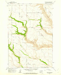
1962 · Crider Valley
USGS Topo · 1:24,000

1962 · Wood Gulch
USGS Topo · 1:24,000

1965 · Goodnoe Hills
USGS Topo · 1:24,000
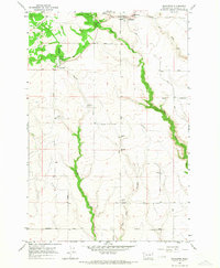
1965 · Bickleton
USGS Topo · 1:24,000
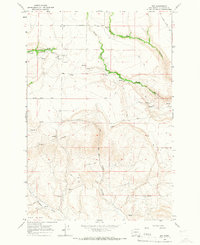
1965 · Dot
USGS Topo · 1:24,000
1965 · Bickleton NW
USGS Topo · 1:24,000