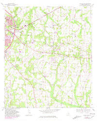
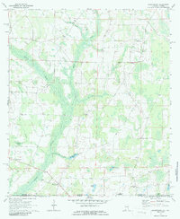
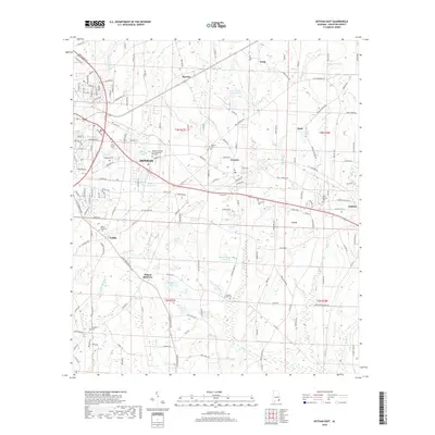
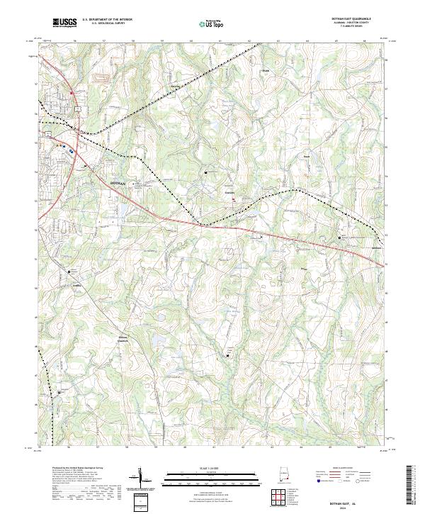
1969 Map of Dothan East
USGS Topo · Published 1981About this map
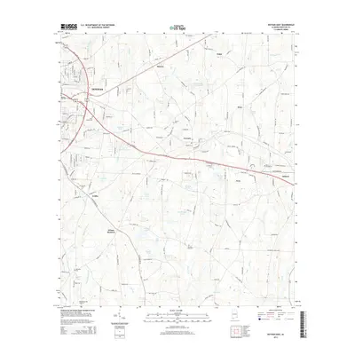
The city of Dothan anchors the northwestern corner of this survey, showcasing a period of expansion with features like the Drive-in Theater, several radio towers, and the Crippled Children Clinic. The landscape is dominated by the industrial and transport arteries of the Georgia Coast Line and Seaboard Coast Line railroads, which linked the agricultural and residential outposts of Cowarts, Avon, and Ashford.
Find a feature on this map
51 named features on this map. Tap any name to fly to it.
Don’t see what you’re looking for? This feature index may not catch every label — zoom into the map to look around manually.
Map Details
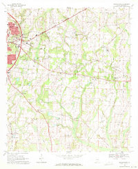
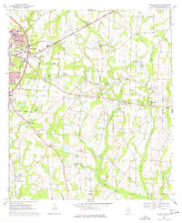
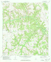
Editions of this 1969 Dothan East Map
3 editions found
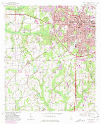
Historical Maps of Dothan Through Time
24 maps found
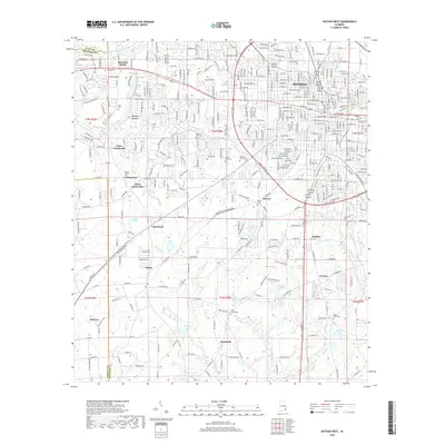
1969 Dothan East
Houston County, AL
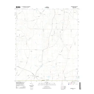
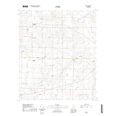
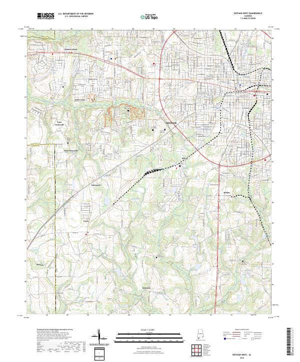
1969 Dothan West
Houston County, AL
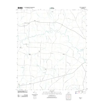
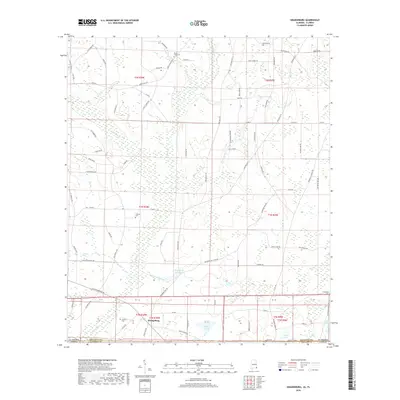
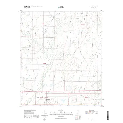
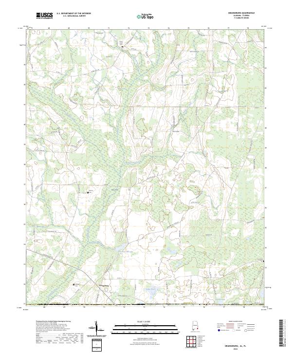
1970 Grangeburg
Houston County, AL
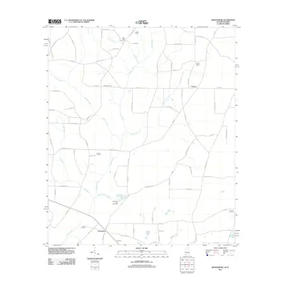
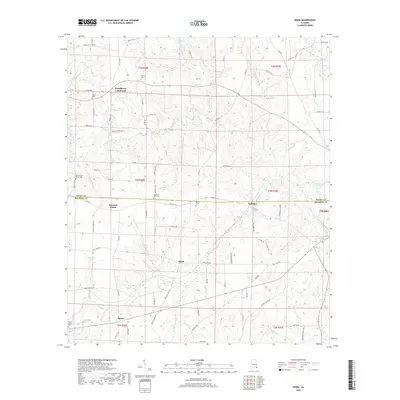
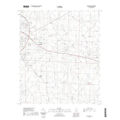
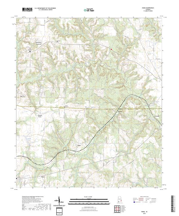
1970 Sigma
Houston County, AL
2011 Dothan East
Houston County, AL
2011 Dothan West
Houston County, AL
2011 Grangeburg
Houston County, AL
2011 Sigma
Houston County, AL
2014 Dothan East
Houston County, AL

2014 Dothan West
Houston County, AL
2014 Grangeburg
Houston County, AL

2014 Sigma
Houston County, AL
2018 Dothan East
Houston County, AL
2018 Dothan West
Houston County, AL
2018 Grangeburg
Houston County, AL
2018 Sigma
Houston County, AL
2020 Dothan East
Houston County, AL

2020 Dothan West
Houston County, AL
2020 Grangeburg
Houston County, AL
2020 Sigma
Houston County, AL
2024 Dothan East
Houston County, AL
2024 Dothan West
Houston County, AL
2024 Grangeburg
Houston County, AL
2024 Sigma
Houston County, AL