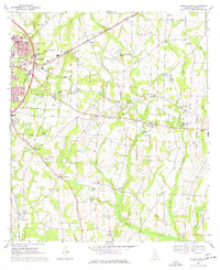
1969 Map of Dothan East
USGS Topo · Published 1977About this map
The eastern edges of Dothan and the surrounding agricultural landscape of Houston County define this late-1960s survey. The map details the convergence of the Georgia of Central, Seaboard Coast Line, and the Atlanta and Saint Andrews Bay railroads, which facilitated the region’s growth. Beyond the city limits, smaller communities like Cowarts, Avon, and Ashford are joined by the rural settlement of Wilson Quarters.
Find a feature on this map
66 named features on this map. Tap any name to fly to it.
Don’t see what you’re looking for? This feature index may not catch every label — zoom into the map to look around manually.
Map Details
Editions of this 1969 Dothan East Map
3 editions found
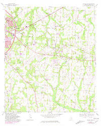
Other maps of this area

1953 · Dothan
USGS Topo · 1:250,000

1954 · Dothan
USGS Topo · 1:250,000

1955 · Dothan
USGS Topo · 1:250,000

1969 · Dothan East
USGS Topo · 1:24,000
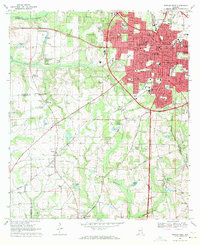
1969 · Dothan West
USGS Topo · 1:24,000
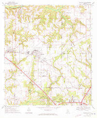
1969 · Midland City
USGS Topo · 1:24,000

1969 · Headland
USGS Topo · 1:24,000
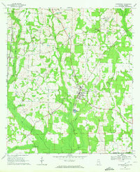
1969 · Cottonwood
USGS Topo · 1:24,000
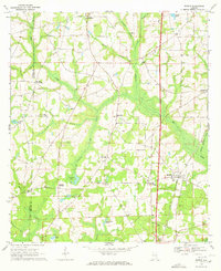
1969 · Madrid
USGS Topo · 1:24,000

1970 · Sigma
USGS Topo · 1:24,000