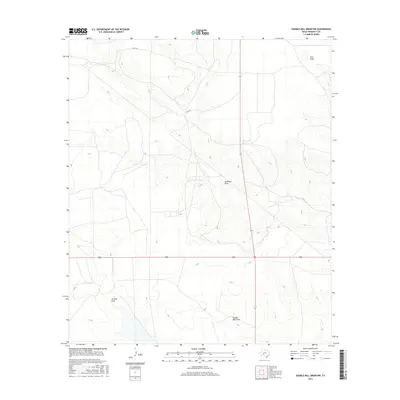
2016 Map of Double Mill Draw NW
USGS Topo · Published 2016About this map
Double Mill Draw and its neighboring drainage systems define the high desert topography of this Crockett County landscape. The area is characterized by the ephemeral flow of Salt Draw in the northeast and Johnson Draw in the southwest, carving seasonal paths through the limestone-inflected terrain. The transportation corridor of Hwy 163 bisects the quadrangle vertically, crossing Buckhorn Draw as it moves across the plateau. Modern infrastructure is sparse, dominated by the intersection of state routes that connect this remote ranching country. The intricate contour work provided by the U.S. Geological Survey reveals the subtle elevation changes that direct water toward these primary draws, which serve as the defining landmarks for land navigation in this portion of West Texas.
Find a feature on this map
7 named features on this map. Tap any name to fly to it.
Don’t see what you’re looking for? This feature index may not catch every label — zoom into the map to look around manually.
Map Details
Editions of this 2016 Double Mill Draw NW Map
This is the sole edition of this map. No revisions or reprints were ever made.
Other maps of this area

1920 · Big Lake
USGS Topo · 1:62,500

1920 · Barnhart
USGS Topo · 1:62,500

1922 · Big Lake
USGS Topo · 1:62,500

1922 · Barnhart
USGS Topo · 1:62,500

1954 · Sonora
USGS Topo · 1:250,000

1954 · San Angelo
USGS Topo · 1:250,000

1958 · Sonora
USGS Topo · 1:250,000

1958 · San Angelo
USGS Topo · 1:250,000

1965 · San Angelo
USGS Topo · 1:250,000

1967 · Double Mill Draw SE
USGS Topo · 1:24,000