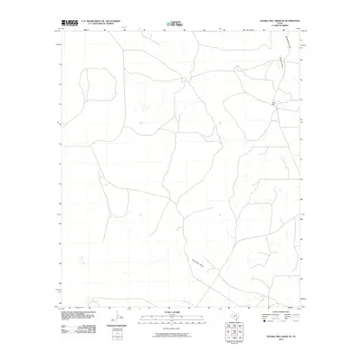
2010 Map of Double Mill Draw SE
USGS Topo · Published 2010About this map
Clayton Ranch sits at the center of this 2010 survey, representing the long-standing ranching tradition of West Texas. This corner of Crockett County is defined by its arid drainage network, characterized by several prominent intermittent watercourses that shape the local topography. The north is marked by the confluence of Buckhorn Draw and Devils River Draw, while the southern reaches of the quadrangle are carved by the winding path of Turkey Roost Draw. These features highlight the importance of natural drainage in a landscape where water is the primary architect of the terrain, dictating the placement of roads and homesteads across this expansive ranching district.
Find a feature on this map
4 named features on this map. Tap any name to fly to it.
Don’t see what you’re looking for? This feature index may not catch every label — zoom into the map to look around manually.
Map Details
Editions of this 2010 Double Mill Draw SE Map
This is the sole edition of this map. No revisions or reprints were ever made.
Other maps of this area

1954 · Sonora
USGS Topo · 1:250,000

1958 · Sonora
USGS Topo · 1:250,000

1964 · Oglesby Ranch
USGS Topo · 1:24,000

1964 · Bailey Draw
USGS Topo · 1:24,000

1967 · Nolen Draw
USGS Topo · 1:24,000

1967 · Ozona
USGS Topo · 1:24,000

1967 · Double Mill Draw SE
USGS Topo · 1:24,000

1967 · Indio Hill
USGS Topo · 1:24,000

1967 · Double Mill Draw NW
USGS Topo · 1:24,000

1967 · Crockett Heights
USGS Topo · 1:24,000