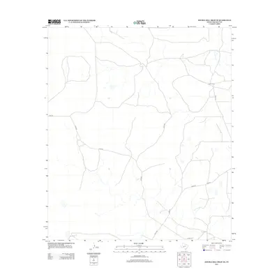
2012 Map of Double Mill Draw SE
USGS Topo · Published 2012About this map
Clayton Ranch stands as the primary named landmark within this Crockett County landscape, a region defined by its sparse settlement and extensive network of county roads. The territory is dominated by the dry drainage patterns typical of the Edwards Plateau, where the land's utility is tied to ranching and transport. Local connectivity is maintained through a web of unpaved and improved routes including Co Rd-109, Co Rd-203, and Taylor Rd, which crisscross the draw-carved terrain. These roads reflect the modern infrastructure required to manage vast Texas ranchlands, providing a clear view of the rural geography of the early 21st century.
Find a feature on this map
6 named features on this map. Tap any name to fly to it.
Don’t see what you’re looking for? This feature index may not catch every label — zoom into the map to look around manually.
Map Details
Editions of this 2012 Double Mill Draw SE Map
This is the sole edition of this map. No revisions or reprints were ever made.
Other maps of this area

1954 · Sonora
USGS Topo · 1:250,000

1958 · Sonora
USGS Topo · 1:250,000

1964 · Oglesby Ranch
USGS Topo · 1:24,000

1964 · Bailey Draw
USGS Topo · 1:24,000

1967 · Nolen Draw
USGS Topo · 1:24,000

1967 · Ozona
USGS Topo · 1:24,000

1967 · Double Mill Draw SE
USGS Topo · 1:24,000

1967 · Indio Hill
USGS Topo · 1:24,000

1967 · Double Mill Draw NW
USGS Topo · 1:24,000

1967 · Crockett Heights
USGS Topo · 1:24,000