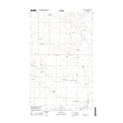
2014 Map of Double S Hill
USGS Topo · Published 2014About this map
The Milk River meanders through this portion of Phillips and Valley Counties, anchoring a landscape defined by significant elevation changes and seasonal water sources. The terrain is deeply incised by numerous drainage features, including Burnt Sheep Shed Coulee and Prestige Coulee, which lead toward the river valley. Human activity is marked by rural river crossings such as Bone Crossing and Jordan Crossing, alongside infrastructure like Highway 243 and Whitaker Rd.
Find a feature on this map
31 named features on this map. Tap any name to fly to it.
Don’t see what you’re looking for? This feature index may not catch every label — zoom into the map to look around manually.
Map Details
Editions of this 2014 Double S Hill Map
This is the sole edition of this map. No revisions or reprints were ever made.
Other maps of this area

1905 · Saco Special
USGS Topo · 1:62,500

1906 · Hinsdale Special Map
USGS Topo · 1:62,500

1954 · Glasgow
USGS Topo · 1:250,000

1957 · Glasgow
USGS Topo · 1:250,000

1958 · Glasgow
USGS Topo · 1:250,000

1984 · Cole
USGS Topo · 1:24,000

1984 · Bjornberg Bridge
USGS Topo · 1:24,000
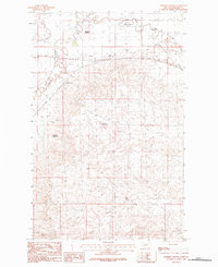
1984 · Robinson Ranch
USGS Topo · 1:24,000

1984 · Double S Hill
USGS Topo · 1:24,000

1984 · Forks
USGS Topo · 1:24,000