
1984 Map of Forks
USGS Topo · Published 1984About this map
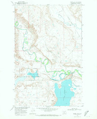
Stinky Creek and its tributary, East Fork Stinky Creek, carve a intricate drainage pattern through this high plains portion of Phillips County. The landscape is defined by its coulees, which suggest a dry, undulating terrain typical of the northern Montana prairie. Named landforms like Bell Coulee and Hymer Coulee provide essential orientation in an otherwise expansive and open territory, while Ole Olson Coulee preserves a specific surname of local importance to the region’s ranching or homesteading history. As a provisional map from the mid-1980s, it documents the topography and limited road network of this area as it appeared just before the turn of the twenty-first century.
Find a feature on this map
5 named features on this map. Tap any name to fly to it.
Don’t see what you’re looking for? This feature index may not catch every label — zoom into the map to look around manually.
Map Details
Editions of this 1984 Forks Map
This is the sole edition of this map. No revisions or reprints were ever made.
Other maps of this area

1920 · Cowan
USGS Topo · 1:125,000

1954 · Glasgow
USGS Topo · 1:250,000

1957 · Glasgow
USGS Topo · 1:250,000

1958 · Glasgow
USGS Topo · 1:250,000

1968 · Tattnall
USGS Topo · 1:24,000
1968 · Hewitt Lake
USGS Topo · 1:24,000

1984 · Cole
USGS Topo · 1:24,000

1984 · Whitewater East
USGS Topo · 1:24,000

1984 · Double S Hill
USGS Topo · 1:24,000

1984 · Dead Horse Coulee
USGS Topo · 1:24,000