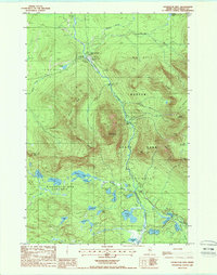
1988 Map of Doubletop Mountain
USGS Topo · Published 1988About this map
Baxter State Park dominates this Maine landscape, showcasing a complex network of glacial ponds and prominent peaks. The western ascent of the park is defined by the massive profile of Doubletop Mountain and the geological formation known as The Klondike, located just west of the towering Mt O-I-H. This era of the park's management is visible through the infrastructure of recreation and conservation, including the Ranger Gate Sta and established sites like Nesowadnehunk Field Campground.
Find a feature on this map
60 named features on this map. Tap any name to fly to it.
Don’t see what you’re looking for? This feature index may not catch every label — zoom into the map to look around manually.
Map Details
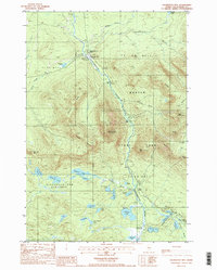
Editions of this 1988 Doubletop Mountain Map
2 editions found
Other maps of this area

1927 · Katahdin
USGS Topo · 1:48,000

1930 · Katahdin
USGS Topo · 1:62,500

1949 · Katahdin
USGS Topo · 1:62,500

1953 · Telos Lake
USGS Topo · 1:62,500

1954 · Harrington Lake
USGS Topo · 1:62,500

1954 · Presque Isle
USGS Topo · 1:250,000

1954 · Millinocket
USGS Topo · 1:250,000

1955 · Traveler Mountain
USGS Topo · 1:62,500

1957 · Telos Lake
USGS Topo · 1:62,500

1958 · Presque Isle
USGS Topo · 1:250,000