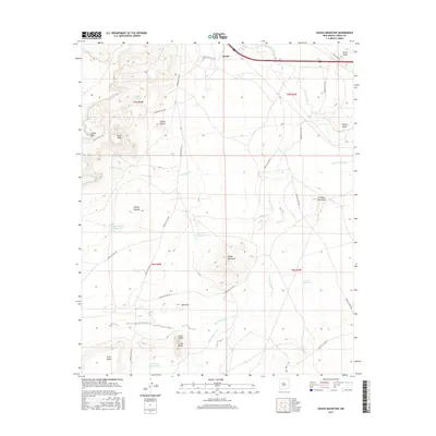
2017 Map of Dough Mountain
USGS Topo · Published 2017About this map
The Rio San Jose cuts across the northern expanse of this high-desert landscape, where the settlement of Mesita sits near the crossing of Interstate 40. This territory is defined by a series of prominent mesas and volcanic landmarks, including the central Dough Mountain and the distinctive Lava Butte and S Lava Butte to the south. The mapping reveals a sophisticated network of tribal infrastructure, notably numerous Indian Service Routes such as Indian Svc Rte 491 and Indian Svc Rte 543, which connect disparate water resources and settlements like Tsidu-Weza.
Find a feature on this map
36 named features on this map. Tap any name to fly to it.
Don’t see what you’re looking for? This feature index may not catch every label — zoom into the map to look around manually.
Map Details
Editions of this 2017 Dough Mountain Map
This is the sole edition of this map. No revisions or reprints were ever made.
Other maps of this area

1883 · Mt. Taylor
USGS Topo · 1:250,000

1886 · Mt. Taylor
USGS Topo · 1:250,000

1892 · Mt. Taylor
USGS Topo · 1:250,000

1899 · Mt. Taylor
USGS Topo · 1:250,000

1917 · Cerro Verde
USGS Topo · 1:125,000

1954 · Socorro
USGS Topo · 1:250,000

1956 · South Garcia
USGS Topo · 1:62,500

1957 · Laguna
USGS Topo · 1:24,000
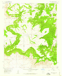
1957 · Mesa Gigante
USGS Topo · 1:24,000

1957 · Mesita
USGS Topo · 1:24,000