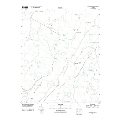
2011 Map of Dougherty Gap
USGS Topo · Published 2011About this map
Harrisburg and Chelsea anchor this 2011 survey of the Lookout Mountain region, where the topography is defined by the deep "gulfs" that cut into the plateau. The map details a landscape transition from the high ridges of Gulf Mountain and Bald Mountain down into the narrow valleys where many small settlements were established. Cultural sites are frequent in these lowland corridors, including specialized locations such as the Valley View Ranch Camp and Camp Juliette Low, along with several family-associated burial grounds like Long Cemetery and Hemphill Cemetery.
Find a feature on this map
83 named features on this map. Tap any name to fly to it.
Don’t see what you’re looking for? This feature index may not catch every label — zoom into the map to look around manually.
Map Details
Editions of this 2011 Dougherty Gap Map
This is the sole edition of this map. No revisions or reprints were ever made.
Other maps of this area

1886 · Ringgold
USGS Topo · 1:125,000

1886 · Rome
USGS Topo · 1:125,000

1886 · Stevenson
USGS Topo · 1:125,000

1892 · Ringgold
USGS Topo · 1:125,000

1892 · Stevenson
USGS Topo · 1:125,000

1893 · Fort Payne
USGS Topo · 1:125,000

1895 · Stevenson
USGS Topo · 1:125,000

1898 · Rome
USGS Topo · 1:125,000

1898 · Fort Payne
USGS Topo · 1:125,000

1899 · Rome
USGS Topo · 1:125,000