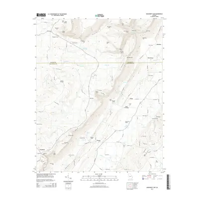
2014 Map of Dougherty Gap
USGS Topo · Published 2014About this map
Pigeon Mtn and Lookout Mountain dominate this landscape along the border of Walker and Chattooga counties. The terrain is defined by dramatic "gulfs" and gaps, such as Dougherty Gap, Harrisburg Gap, and Neal Gap, which dictate the paths of early roads and modern routes like Ga-157. These natural corridors have historically connected valley settlements such as Harrisburg and Chelsea with the higher elevations of the Cumberland Plateau.
Find a feature on this map
112 named features on this map. Tap any name to fly to it.
Don’t see what you’re looking for? This feature index may not catch every label — zoom into the map to look around manually.
Map Details
Editions of this 2014 Dougherty Gap Map
This is the sole edition of this map. No revisions or reprints were ever made.
Other maps of this area

1886 · Ringgold
USGS Topo · 1:125,000

1886 · Rome
USGS Topo · 1:125,000

1886 · Stevenson
USGS Topo · 1:125,000

1892 · Ringgold
USGS Topo · 1:125,000

1892 · Stevenson
USGS Topo · 1:125,000

1893 · Fort Payne
USGS Topo · 1:125,000

1895 · Stevenson
USGS Topo · 1:125,000

1898 · Rome
USGS Topo · 1:125,000

1898 · Fort Payne
USGS Topo · 1:125,000

1899 · Rome
USGS Topo · 1:125,000