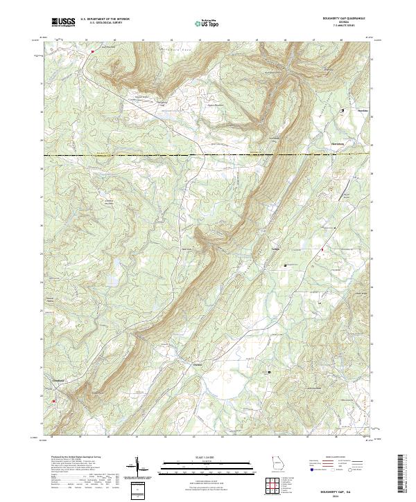
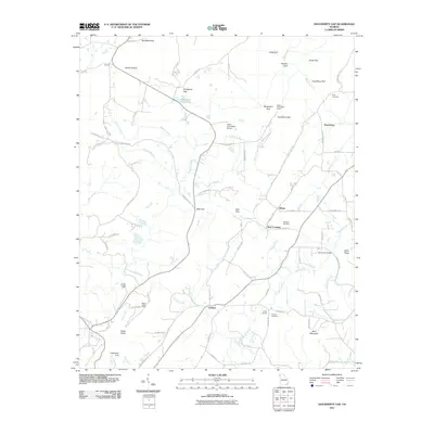
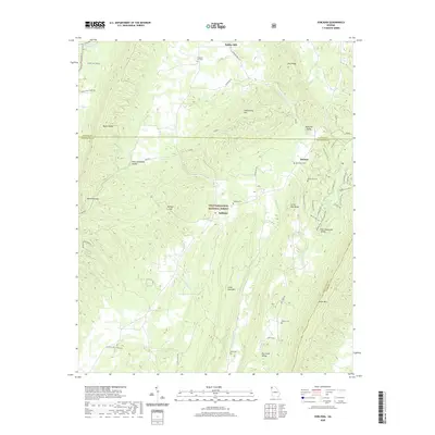
2024 Map of Dougherty Gap
USGS Topo · Published 2024About this map
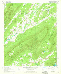
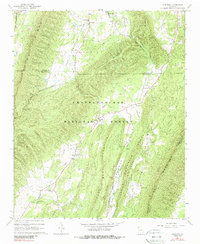
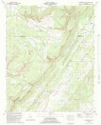
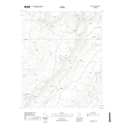
Shinbone Ridge and Shinbone Valley dominate the center of this Georgia study, marking the sharp transition between the upland plateaus of Lookout Mountain and the agricultural basins below. The terrain is defined by deep gaps and gulfs, such as Dougherty Gap, Harrisburg Gulf, and Neal Gulf, which have historically dictated the movement of goods and people through the northwestern corner of the state. Small settlements like Teloga and Harrisburg are situated along these natural corridors, supported by numerous water sources including Spring Creek and Hemphill Spring.
Find a feature on this map
117 named features on this map. Tap any name to fly to it.
Don’t see what you’re looking for? This feature index may not catch every label — zoom into the map to look around manually.
Map Details
Editions of this 2024 Dougherty Gap Map
This is the sole edition of this map. No revisions or reprints were ever made.
Historical Maps of Harrisburg Through Time
21 maps found
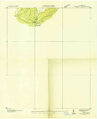
1936 Dougherty Gap
Chattooga County, GA
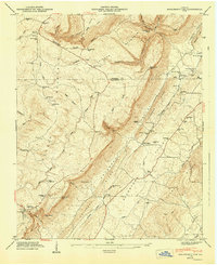
1946 Dougherty Gap
Chattooga County, GA
1947 Dougherty Gap
Chattooga County, GA
1967 Chattoogaville
Chattooga County, GA
1967 Subligna
Chattooga County, GA
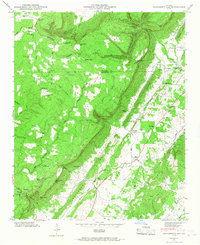
1983 Dougherty Gap
Chattooga County, GA
2011 Chattoogaville
Chattooga County, GA
2011 Dougherty Gap
Chattooga County, GA
2011 Subligna
Chattooga County, GA

2014 Chattoogaville
Chattooga County, GA
2014 Dougherty Gap
Chattooga County, GA
2014 Subligna
Chattooga County, GA
2017 Chattoogaville
Chattooga County, GA
2017 Dougherty Gap
Chattooga County, GA
2017 Subligna
Chattooga County, GA

2020 Chattoogaville
Chattooga County, GA
2020 Dougherty Gap
Chattooga County, GA
2020 Subligna
Chattooga County, GA
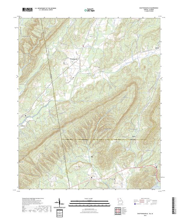
2024 Chattoogaville
Chattooga County, GA
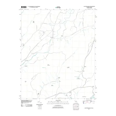
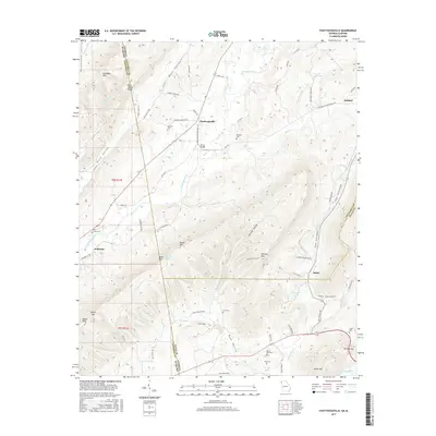
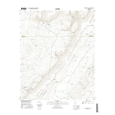
2024 Dougherty Gap
Chattooga County, GA
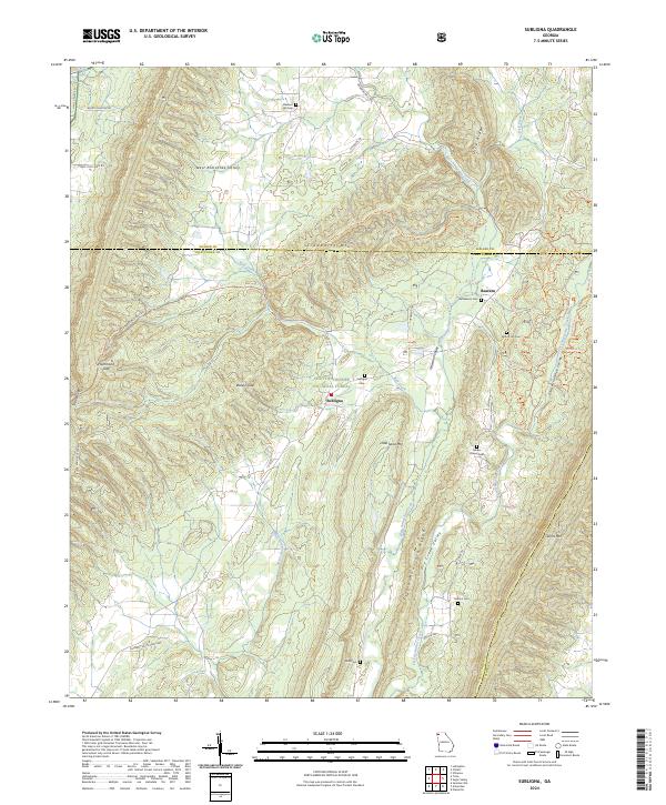
2024 Subligna
Chattooga County, GA