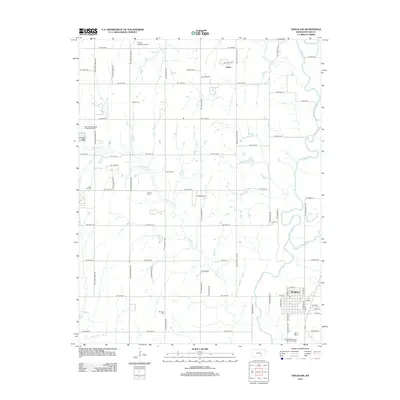
2012 Map of Douglass
USGS Topo · Published 2012About this map
Douglass serves as the primary municipal anchor of this Butler County landscape, situated at the confluence of the Walnut River and Little Walnut River. The township's character is defined by a rigorous section-line road grid, including SW Tawakoni Rd and SW Prairie Creek Rd, which carve the prairie into large agricultural tracts. This 2012 survey illustrates the persistence of early rural communities through its detailed identification of local burial grounds. Genealogists can locate Dunlap Cem, Rose Hill Cem, Friends Cem, and Richland Cem, which remain scattered across the countryside near small settlements like Salter. The drainage patterns of Eightmile Cr and Polecat Cr dominate the western half of the map, while the eastern edge highlights the more significant riparian corridors that historically dictated the placement of the town site.
Find a feature on this map
66 named features on this map. Tap any name to fly to it.
Don’t see what you’re looking for? This feature index may not catch every label — zoom into the map to look around manually.
Map Details
Editions of this 2012 Douglass Map
This is the sole edition of this map. No revisions or reprints were ever made.
Other maps of this area

1888 · Eldorado
USGS Topo · 1:125,000

1889 · Burden
USGS Topo · 1:125,000

1889 · Wichita
USGS Topo · 1:125,000

1890 · Wellington
USGS Topo · 1:125,000

1894 · Wichita
USGS Topo · 1:125,000

1945 · Andover
USGS Topo · 1:31,680

1955 · Udall
USGS Topo · 1:24,000

1955 · Santa Fe Lake
USGS Topo · 1:24,000

1955 · Rose Hill
USGS Topo · 1:24,000

1955 · Mulvane
USGS Topo · 1:24,000