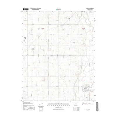
2015 Map of Douglass
USGS Topo · Published 2015About this map
Douglass and Rose Hill anchor this Kansas prairie landscape, situated near the confluence of the Walnut River and the Little Walnut River. This 2015 survey reveals a land defined by a geometric grid of rural roads and traditional township boundaries such as t28s r3e and t29s r4e. The area is notably marked by several historic burial grounds, including Dunlap Cem, Friends Cem, and Richland Cem, which provide significant points of interest for genealogists tracing local families in Butler County.
Find a feature on this map
75 named features on this map. Tap any name to fly to it.
Don’t see what you’re looking for? This feature index may not catch every label — zoom into the map to look around manually.
Map Details
Editions of this 2015 Douglass Map
This is the sole edition of this map. No revisions or reprints were ever made.
Other maps of this area

1888 · Eldorado
USGS Topo · 1:125,000

1889 · Burden
USGS Topo · 1:125,000

1889 · Wichita
USGS Topo · 1:125,000

1890 · Wellington
USGS Topo · 1:125,000

1894 · Wichita
USGS Topo · 1:125,000

1945 · Andover
USGS Topo · 1:31,680

1955 · Udall
USGS Topo · 1:24,000

1955 · Santa Fe Lake
USGS Topo · 1:24,000

1955 · Rose Hill
USGS Topo · 1:24,000

1955 · Mulvane
USGS Topo · 1:24,000