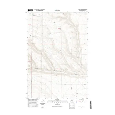
2013 Map of Douty Canyon
USGS Topo · Published 2013About this map
Douty Canyon and Sand Ridge dominate this section of Klickitat County, where the high plateaus of south-central Washington break into a series of steep drainages. The landscape is defined by the seasonal flow of water, marked by numerous named water sources including McBride Spring, Rattlesnake Spring, and Cottonwood Spring. These springs provided essential resources for early ranching and homesteading efforts in this arid region, where water rights often dictated the viability of land use.
Find a feature on this map
29 named features on this map. Tap any name to fly to it.
Don’t see what you’re looking for? This feature index may not catch every label — zoom into the map to look around manually.
Map Details
Editions of this 2013 Douty Canyon Map
This is the sole edition of this map. No revisions or reprints were ever made.
Other maps of this area

1906 · Blalock Island
USGS Topo · 1:125,000

1908 · Blalock Island
USGS Topo · 1:125,000

1910 · Zillah
USGS Topo · 1:125,000

1915 · Prosser
USGS Topo · 1:125,000

1916 · Arlington
USGS Topo · 1:125,000

1917 · Prosser
USGS Topo · 1:125,000

1950 · Yakima
USGS Topo · 1:250,000

1953 · Pendleton
USGS Topo · 1:250,000

1953 · Walla Walla
USGS Topo · 1:250,000

1953 · The Dalles
USGS Topo · 1:250,000