
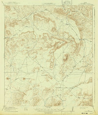
1918 Map of Dove Mountain
USGS Topo · Published 1918About this map
Gage Ranch and Jones Ranch anchor this West Texas landscape, representing the scattered pastoral settlements that defined Terrell County in the early twentieth century. This 1917 survey captures a period when survival in the high desert relied on a network of water collection points like Stevenson Tank, Bowden Tank, and Crenshaw Tank. These man-made features were essential for livestock and travelers navigating the winding Sanderson Road.
Find a feature on this map
20 named features on this map. Tap any name to fly to it.
Don’t see what you’re looking for? This feature index may not catch every label — zoom into the map to look around manually.
Map Details
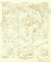
Editions of this 1918 Dove Mountain Map
3 editions found
Other maps of this area

1917 · Bone Spring
USGS Topo · 1:62,500

1917 · Hood Spring
USGS Topo · 1:62,500

1918 · Reagan Canyon
USGS Topo · 1:62,500

1918 · Bone Spring
USGS Topo · 1:125,000

1918 · Hood Spring
USGS Topo · 1:62,500

1918 · Bone Spring
USGS Topo · 1:62,500

1918 · Bullis Gap
USGS Topo · 1:62,500

1919 · Maravillas Canyon
USGS Topo · 1:62,500

1920 · Longfellow
USGS Topo · 1:125,000

1920 · Bone Spring
USGS Topo · 1:62,500