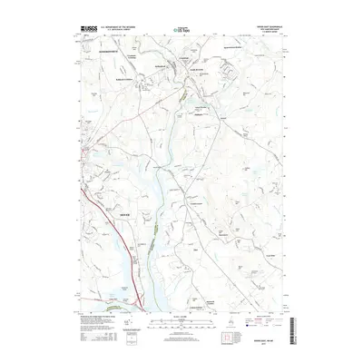
2015 Map of Dover East
USGS Topo · Published 2015About this map
The Salmon Falls River and Piscataqua River define the boundary between New Hampshire and Maine in this detailed survey of Dover and its surrounding communities. The landscape is a complex network of coastal waterways and industrial-era settlements, where names like Great Works and Shapleigh Old Mill Pond point to a legacy of water-powered industry. Transportation infrastructure is prominent, from the Boston Harbor RR serving Rollinsford Station and Agamenticus Station to the Scammel Bridge crossing the river near Clements Point.
Find a feature on this map
219 named features on this map. Tap any name to fly to it.
Don’t see what you’re looking for? This feature index may not catch every label — zoom into the map to look around manually.
Map Details
Editions of this 2015 Dover East Map
This is the sole edition of this map. No revisions or reprints were ever made.
Other maps of this area

1891 · Berwick
USGS Topo · 1:62,500

1891 · Kennebunk
USGS Topo · 1:62,500

1893 · Kennebunk
USGS Topo · 1:62,500

1893 · Dover
USGS Topo · 1:62,500

1893 · Berwick
USGS Topo · 1:62,500

1893 · York
USGS Topo · 1:62,500

1898 · Kennebunk
USGS Topo · 1:62,500

1916 · Dover
USGS Topo · 1:62,500

1918 · Dover
USGS Topo · 1:62,500

1920 · York
USGS Topo · 1:62,500