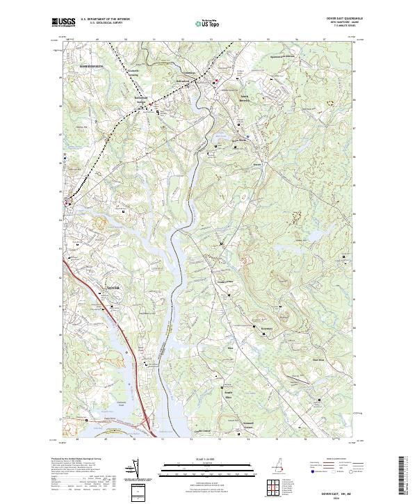
2024 Map of Dover East
USGS Topo · Published 2024About this map
The Salmon Falls River and the Piscataqua River define this borderland where New Hampshire and Maine meet, charting a landscape of deep-rooted settlements and early New England industry. The towns of Dover, Somersworth, and South Berwick are shown in detail, connected by the Pan Am Railways corridor. For genealogists, the map is remarkably dense with family-named burial sites, including the First Settlers Burial Ground near Dover Point and smaller plots like the Shapleigh Family Cem and Emery - Frost Cem. The presence of Leighs Mill Pond and Shapleigh Old Mill Pond suggests a lingering textile and timber heritage along the waterways. From the heights of Garrison Hill to the maritime edges of Pomeroy Cove, the geography reflects centuries of development along the tidal estuaries.
Find a feature on this map
243 named features on this map. Tap any name to fly to it.
Don’t see what you’re looking for? This feature index may not catch every label — zoom into the map to look around manually.
Map Details
Editions of this 2024 Dover East Map
This is the sole edition of this map. No revisions or reprints were ever made.
Other maps of this area

1891 · Berwick
USGS Topo · 1:62,500

1891 · Kennebunk
USGS Topo · 1:62,500

1893 · Kennebunk
USGS Topo · 1:62,500

1893 · Dover
USGS Topo · 1:62,500

1893 · Berwick
USGS Topo · 1:62,500

1893 · York
USGS Topo · 1:62,500

1898 · Kennebunk
USGS Topo · 1:62,500

1916 · Dover
USGS Topo · 1:62,500

1918 · Dover
USGS Topo · 1:62,500

1920 · York
USGS Topo · 1:62,500