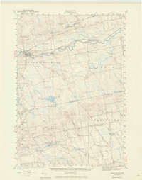
1932 Map of Dover-Foxcroft
USGS Topo · Published 1969About this map
The Piscataquis River cuts through the center of this Maine landscape, serving as a corridor for the Bangor and Aroostook railroad during the early 1930s. The region is defined by a dense network of crossroads settlements and family-named corners such as Goffs Corner, Atkinson Corners, and Barrys Corner. These small hubs, alongside isolated rural schools like Maple Sch and Brockway Sch, suggest a community structure built on small-scale agriculture and local industry. The map captures the industrial character of the era through several water-powered sites, including Rollins Mill and Silvers Mills. To the south, the Maine Central line connects through Garland, while the topography rises toward Hatch Hill and Hathaway Ledge, revealing the varied terrain of the Piscataquis and Penobscot borderlands.
Find a feature on this map
95 named features on this map. Tap any name to fly to it.
Don’t see what you’re looking for? This feature index may not catch every label — zoom into the map to look around manually.
Map Details
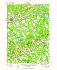
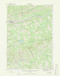
Editions of this 1932 Dover-Foxcroft Map
4 editions found
Other maps of this area

1902 · Bangor
USGS Topo · 1:62,500

1930 · Pittsfield
USGS Topo · 1:48,000

1931 · Stetson
USGS Topo · 1:48,000

1932 · Dover-Foxcroft
USGS Topo · 1:48,000

1932 · Pittsfield
USGS Topo · 1:62,500

1933 · Boyd Lake
USGS Topo · 1:62,500

1933 · Pittsfield
USGS Topo · 1:62,500

1933 · Guilford
USGS Topo · 1:62,500

1935 · Dover-Foxcroft
USGS Topo · 1:62,500

1935 · Stetson
USGS Topo · 1:62,500