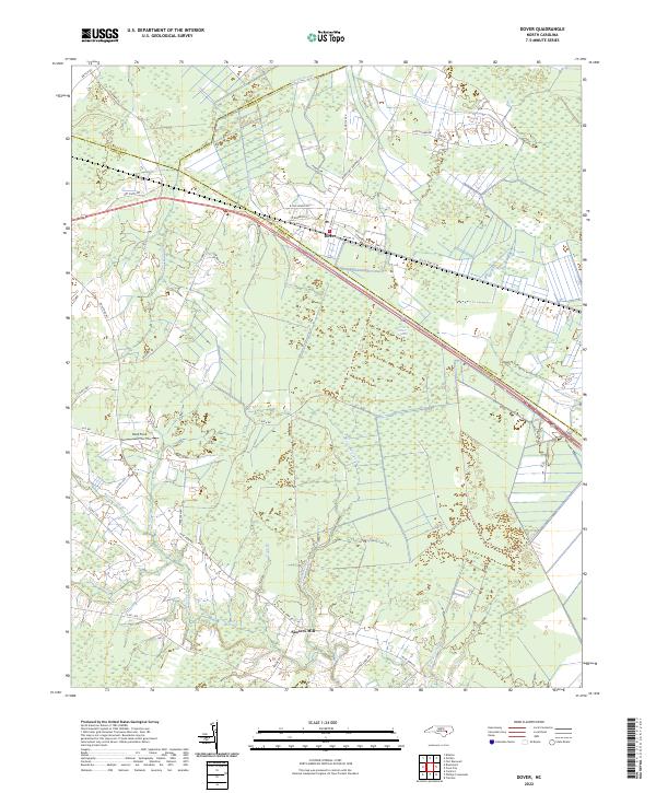
2022 Map of Dover
USGS Topo · Published 2022About this map
Low-lying wetlands and intricate drainage networks dominate this corner of eastern North Carolina where three counties meet. The town of Dover serves as the primary hub of activity, situated along a transportation corridor defined by Railroad St and the historic path of Old US Hwy 70 W. Outside the town center, the landscape is a mosaic of dense swamp forests and agricultural clearings like Hood Field.
Find a feature on this map
48 named features on this map. Tap any name to fly to it.
Don’t see what you’re looking for? This feature index may not catch every label — zoom into the map to look around manually.
Map Details
Editions of this 2022 Dover Map
This is the sole edition of this map. No revisions or reprints were ever made.
Other maps of this area

1902 · Ayden
USGS Topo · 1:62,500

1903 · Trent River
USGS Topo · 1:62,500

1904 · Ayden
USGS Topo · 1:62,500

1904 · Trent River
USGS Topo · 1:62,500

1914 · Kinston
USGS Topo · 1:48,000

1916 · Kinston
USGS Topo · 1:62,500

1953 · Rocky Mount
USGS Topo · 1:250,000

1954 · Rocky Mount
USGS Topo · 1:250,000

1958 · Deep Run
USGS Topo · 1:62,500
1980 · Rivermont
USGS Topo · 1:24,000