Loading...
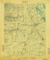
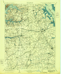
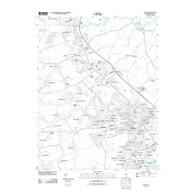
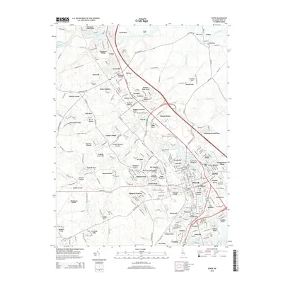
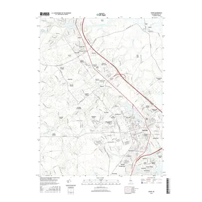
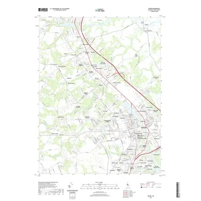
Loading map...1899 Map of Dover
USGS Topo · Published 1904About this map
Smyrna and Middletown anchor the agricultural and transit landscape of the Delmarva Peninsula at the close of the nineteenth century. This survey illustrates a region defined by its intricate drainage into the Delaware River and Chesapeake Bay, where navigable waters like the Elk River and Sassafras River intersect with a maturing rail network. The Delaware RR and the Baltimore and Delaware Bay RR serve as vital arteries, connecting inland settlements such as Townsend and Clayton to the coastal economy.
Find a feature on this map
175 named features on this map. Tap any name to fly to it.
Don’t see what you’re looking for? This feature index may not catch every label — zoom into the map to look around manually.
Map Details
Date Portrayed1899
Date Published1904
PublisherU.S. Geological Survey
Map TypeTopographic
Scale1:125,000
Physical Dimensions16.5 x 19.9 inches
Editions of this 1899 Dover Map
2 editions found

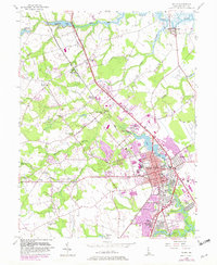
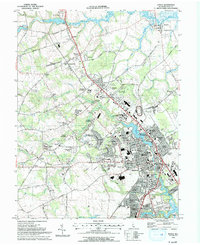
Historical Maps of Dover Through Time
11 maps found


Featured Locations
Source Details
SourceU.S. Geological Survey
CopyrightPublic Domain