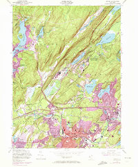
1954 Map of Dover
USGS Topo · Published 1972About this map
Dover serves as the industrial and transportation hub for this northern New Jersey corridor, captured here during a period of significant postwar expansion. The map illustrates a landscape defined by its extractive history and military significance, with the Mount Hope Mine and Richard Mine Sch marking the region's long-standing mining heritage. This industrial character is further emphasized by the sprawling footprints of the U S Military Reservation (Picatinny Arsenal) and the U S Naval Reservation (Lake Denmark), which occupy the valley between Green Pond Mountain and Copperas Mountain.
Find a feature on this map
87 named features on this map. Tap any name to fly to it.
Don’t see what you’re looking for? This feature index may not catch every label — zoom into the map to look around manually.
Map Details
Editions of this 1954 Dover Map
5 editions found
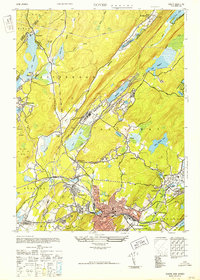

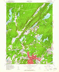
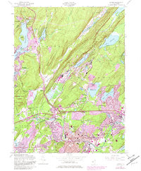
Other maps of this area

1888 · Franklin
USGS Topo · 1:62,500

1888 · Morristown
USGS Topo · 1:62,500

1888 · Lake Hopatcong
USGS Topo · 1:62,500

1891 · Greenwood Lake
USGS Topo · 1:62,500

1893 · Greenwood Lake
USGS Topo · 1:62,500

1894 · Morristown
USGS Topo · 1:62,500

1894 · Lake Hopatcong
USGS Topo · 1:62,500

1894 · Franklin
USGS Topo · 1:62,500

1897 · Franklin
USGS Topo · 1:62,500

1898 · Lake Hopatcong
USGS Topo · 1:62,500