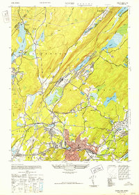
1954 Map of Dover
USGS Topo · Published 1954About this map
Dover serves as the industrial and residential hub of this Morris County region, shown here during its mid-century development. The map reveals a landscape defined by its complex water systems, from the expansive Lake Hopatcong in the west to the remnants of the Morris Canal winding through Wharton. Significant infrastructure like the New Jersey Central Power and Light Company and several industrial ponds, such as Bowlby Ice Pond and Washington Pond, highlight the era's reliance on local resources. Smaller settlements like Berkshire Valley, Spicertown, and Middletown appear as established communities amidst the varied terrain of the Rockaway and Jefferson townships.
Find a feature on this map
55 named features on this map. Tap any name to fly to it.
Don’t see what you’re looking for? This feature index may not catch every label — zoom into the map to look around manually.
Map Details
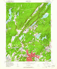
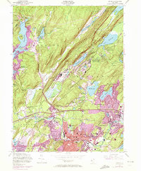
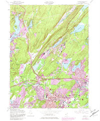
Editions of this 1954 Dover Map
5 editions found

Other maps of this area

1888 · Franklin
USGS Topo · 1:62,500

1888 · Morristown
USGS Topo · 1:62,500

1888 · Lake Hopatcong
USGS Topo · 1:62,500

1891 · Greenwood Lake
USGS Topo · 1:62,500

1893 · Greenwood Lake
USGS Topo · 1:62,500

1894 · Morristown
USGS Topo · 1:62,500

1894 · Lake Hopatcong
USGS Topo · 1:62,500

1894 · Franklin
USGS Topo · 1:62,500

1897 · Franklin
USGS Topo · 1:62,500

1898 · Lake Hopatcong
USGS Topo · 1:62,500