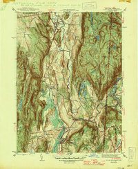
1947 Map of Dover Plains
USGS Topo · Published 1947About this map
The Tenmile River valley serves as a central corridor for this mid-century landscape, where the New York Central railroad connects industrial and institutional centers. The sprawling grounds of the Harlem Valley State Hospital dominate the southern portion of the valley near Wingdale, while further north, the community of Dover Plains sits tucked between West Mountain and Nellie Hill. A notable local landmark, The Stone Church, is located just west of the main village near Stone Church Brook.
Find a feature on this map
68 named features on this map. Tap any name to fly to it.
Don’t see what you’re looking for? This feature index may not catch every label — zoom into the map to look around manually.
Map Details
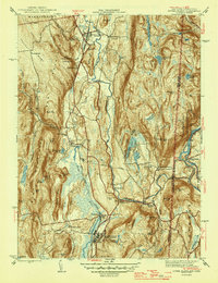
Editions of this 1947 Dover Plains Map
2 editions found
Other maps of this area

1892 · Cornwall
USGS Topo · 1:62,500

1892 · New Milford
USGS Topo · 1:62,500

1893 · New Milford
USGS Topo · 1:62,500

1893 · Cornwall
USGS Topo · 1:62,500

1893 · Clove
USGS Topo · 1:62,500

1894 · Clove
USGS Topo · 1:62,500

1898 · Clove
USGS Topo · 1:62,500

1899 · Millbrook
USGS Topo · 1:62,500

1901 · Clove
USGS Topo · 1:62,500

1902 · Millbrook
USGS Topo · 1:62,500