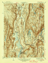
1947 Map of Dover Plains
USGS Topo · Published 1947About this map
The New York Central railroad corridor serves as the industrial spine for this mid-century portrait of Dutchess County, connecting settlements from Dover Plains down through Wingdale. The landscape is dominated by the parallel ridges of West Mountain and East Mountain, with the valley floor supporting a mix of heavy institutional presence and rural agriculture. Most prominent is the sprawling Harlem Valley State Hospital complex at the southern end, while an Aerial Tramway near South Dover suggests local extraction or utility operations.
Find a feature on this map
71 named features on this map. Tap any name to fly to it.
Don’t see what you’re looking for? This feature index may not catch every label — zoom into the map to look around manually.
Map Details
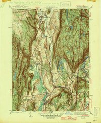
Editions of this 1947 Dover Plains Map
2 editions found
Other maps of this area

1892 · Cornwall
USGS Topo · 1:62,500

1892 · New Milford
USGS Topo · 1:62,500

1893 · New Milford
USGS Topo · 1:62,500

1893 · Cornwall
USGS Topo · 1:62,500

1893 · Clove
USGS Topo · 1:62,500

1894 · Clove
USGS Topo · 1:62,500

1898 · Clove
USGS Topo · 1:62,500

1899 · Millbrook
USGS Topo · 1:62,500

1901 · Clove
USGS Topo · 1:62,500

1902 · Millbrook
USGS Topo · 1:62,500