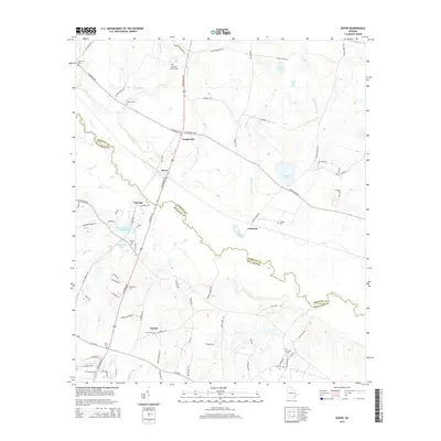
2014 Map of Dover
USGS Topo · Published 2014About this map
Ogeechee River defines the southeastern border of this rural landscape, winding through a network of creeks and small ponds as it passes from Bulloch County into Screven County. The settlement pattern is characterized by small, distributed communities such as Cooperville, Dover, and Eureka, which are connected by a web of routes including the Statesboro Hwy and Scarboro Hwy. The number of family and community burial grounds, including Wades Cem, Branon Cem, and Macedonia Cem, suggests a long-established agricultural history and deep generational ties to the land.
Find a feature on this map
101 named features on this map. Tap any name to fly to it.
Don’t see what you’re looking for? This feature index may not catch every label — zoom into the map to look around manually.
Map Details
Editions of this 2014 Dover Map
This is the sole edition of this map. No revisions or reprints were ever made.
Other maps of this area

1918 · Oliver
USGS Topo · 1:62,500

1920 · Statesboro
USGS Topo · 1:62,500

1920 · Oliver
USGS Topo · 1:62,500

1921 · Brooklet
USGS Topo · 1:62,500

1921 · Rocky Ford
USGS Topo · 1:62,500

1943 · Brooklet
USGS Topo · 1:62,500

1943 · Rocky Ford
USGS Topo · 1:62,500

1943 · Millen
USGS Topo · 1:125,000

1943 · Statesboro
USGS Topo · 1:62,500

1943 · Oliver
USGS Topo · 1:62,500